Related Images


Download:
| Tiny | 151x128 | View | Download |
| Small | 303x256 | View | Download |
| Medium | 607x512 | View | Download |
| Large | 1214x1024 | View | Download |
| Original | 5000x4215 | View | Download |
This image was acquired from
wikimedia. It was marked as Public Domain or CC0 and is free to use. To verify, go to the source and check the information there.
Looking for more info about this image?
Try a Google Reverse Image Search for it.
Try a Google Reverse Image Search for it.
Keywords from Image Description:
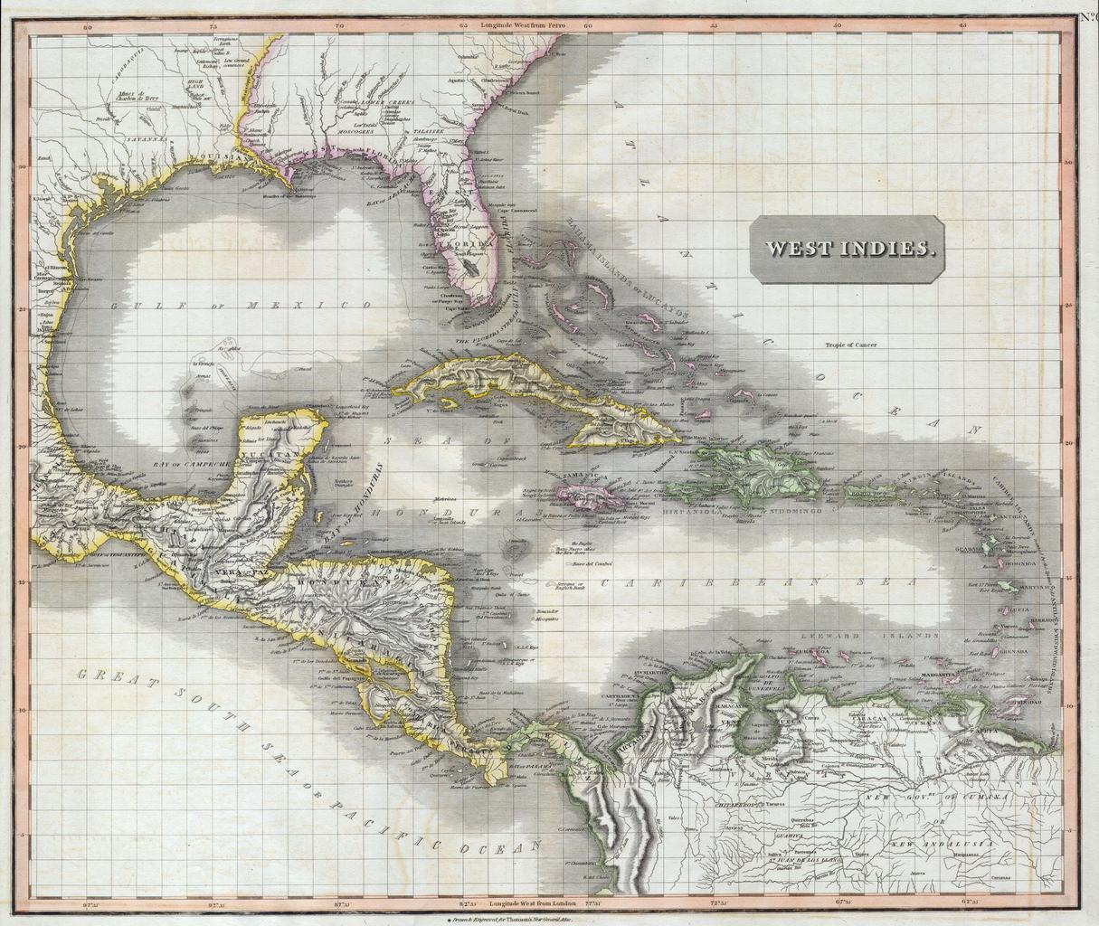
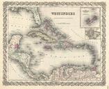
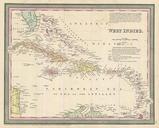
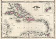
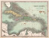
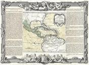
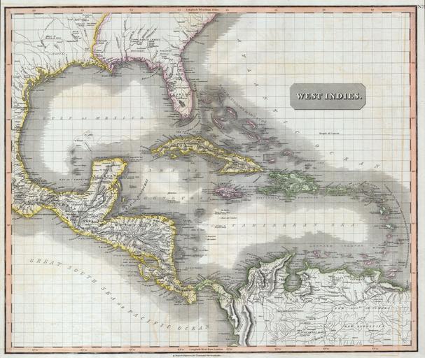
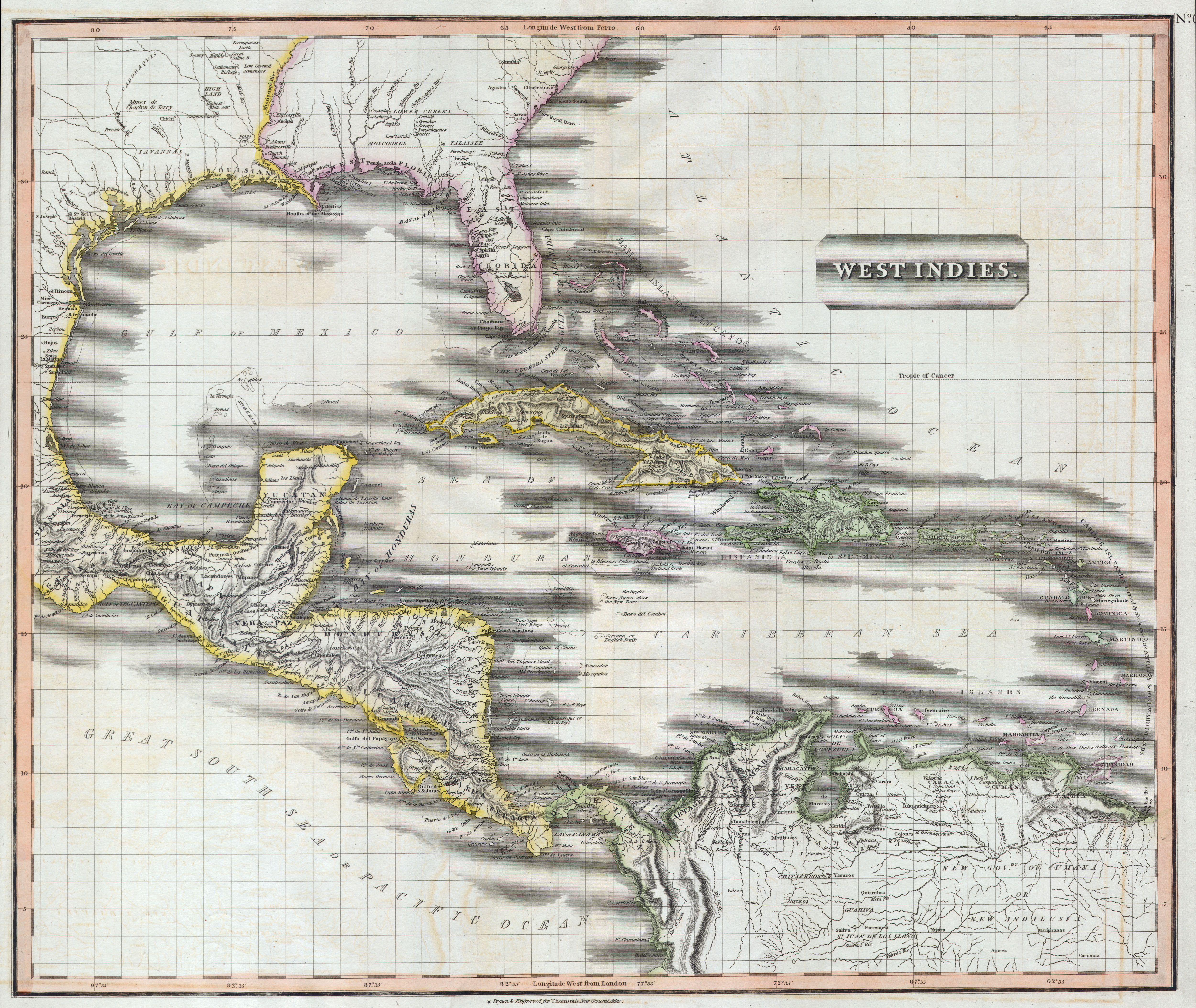
Thomson Map of the West Indies Central America Geographicus WestIndiest. masterpiece This fascinating hand colored map by Edinburgh cartographer John Thomson depicts the West Indies and Central America Covers from the Carolinas south through Texas Mexico and central America to the northern part of South America as far as Venezuela