
Related Images


Download:
| Tiny | 177x128 | View | Download |
| Small | 354x256 | View | Download |
| Medium | 708x512 | View | Download |
| Large | 1417x1024 | View | Download |
| Original | 3500x2528 | View | Download |
This image was acquired from
wikimedia. It was marked as Public Domain or CC0 and is free to use. To verify, go to the source and check the information there.
Looking for more info about this image?
Try a Google Reverse Image Search for it.
Try a Google Reverse Image Search for it.
Keywords from Image Description:
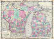
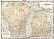
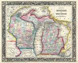
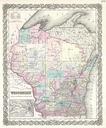
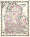
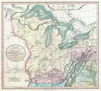
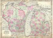
Johnson Map of Michigan and Wisconsin Geographicus MIWIj. This is beautifully hand colored lithograph map of Michigan and Wisconsin Includes beautiful inset engraving of the Straits of Mackinaw which divide the northern peninsula of Michigan from the main landmass to the south Size in object history credit line accession number