Related Images


Download:
| Tiny | 155x128 | View | Download |
| Small | 311x256 | View | Download |
| Medium | 622x512 | View | Download |
| Large | 1244x1024 | View | Download |
| Original | 4000x3292 | View | Download |
This image was acquired from
wikimedia. It was marked as Public Domain or CC0 and is free to use. To verify, go to the source and check the information there.
Looking for more info about this image?
Try a Google Reverse Image Search for it.
Try a Google Reverse Image Search for it.
Keywords from Image Description:
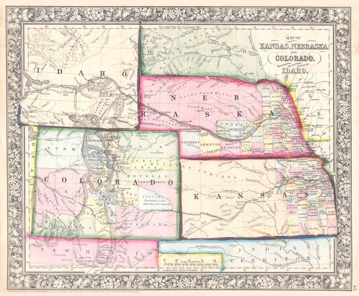
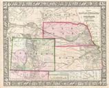
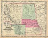
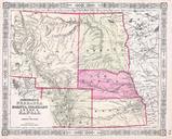
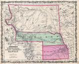
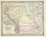
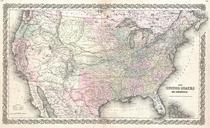
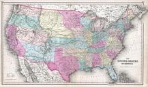
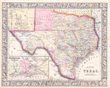
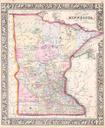
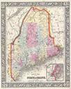
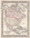
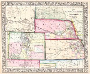
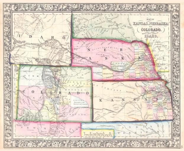
Mitchell Map of Colorado Kansas Nebraska Geographicus COKANEmitchell. beautiful example of Mitchell Jr map of Kansas Nebraska Colorado and Idaho Wyoming has yet to appear Counties cover only the eastern portions of Nebraska and the eastern third of Kansas Shows various proposed railroads geographic features American Indian tribes