
Related Images


Download:
| Tiny | 101x128 | View | Download |
| Small | 203x256 | View | Download |
| Medium | 407x512 | View | Download |
| Large | 814x1024 | View | Download |
| Original | 3183x4000 | View | Download |
This image was acquired from
wikimedia. It was marked as Public Domain or CC0 and is free to use. To verify, go to the source and check the information there.
Looking for more info about this image?
Try a Google Reverse Image Search for it.
Try a Google Reverse Image Search for it.
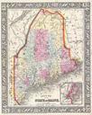
Keywords from Image Description:
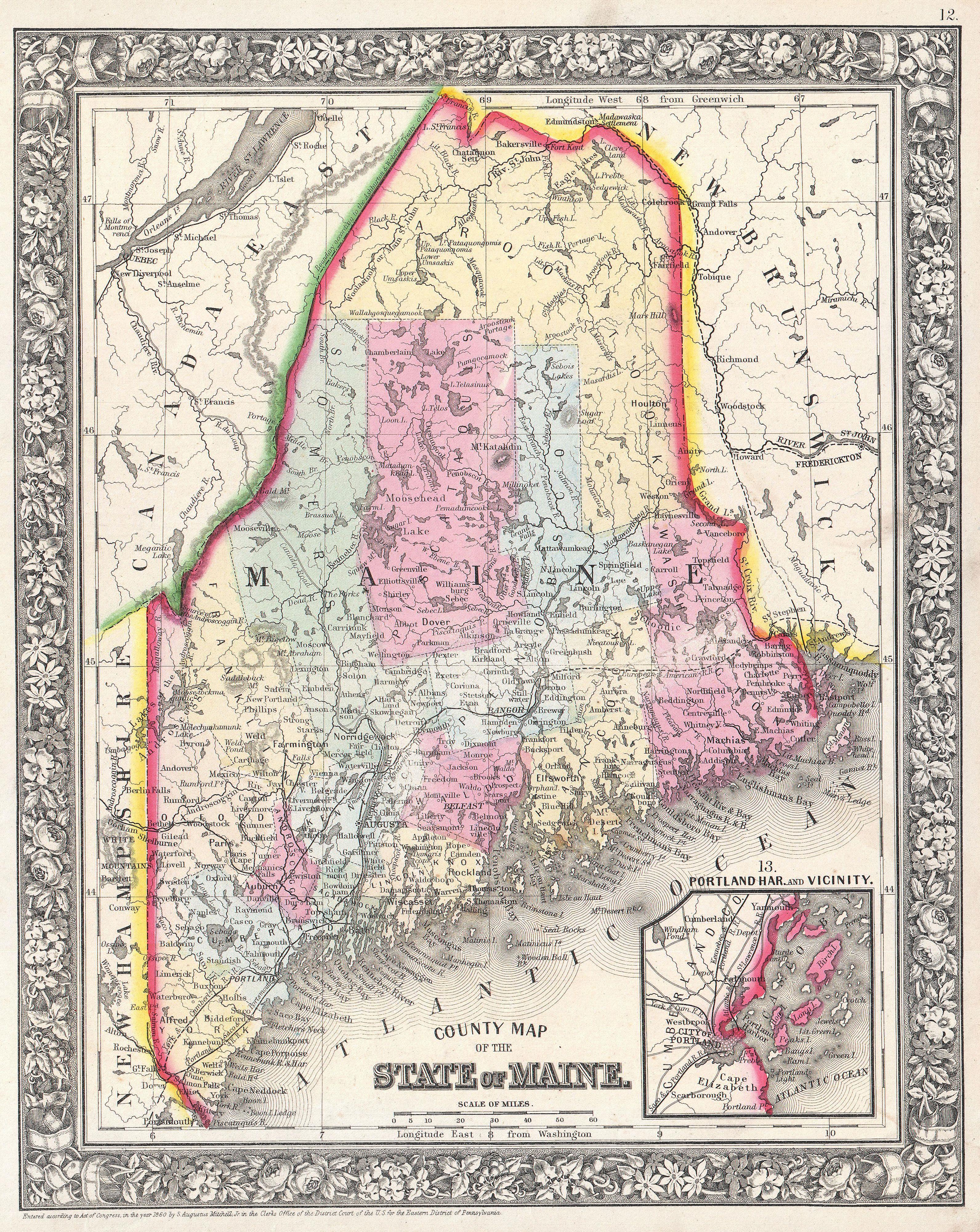
Mitchell Map of Maine Geographicus MEmitchell. beautiful example of Mitchell Jr map of Maine Detailed to the county level with attention to towns geographical features proposed railroads and cities Many of the counties in the northern part of the state are absent or ill defined Shows the border with Canada according to the Ashburton