
Related Images


Download:
| Tiny | 153x128 | View | Download |
| Small | 306x256 | View | Download |
| Medium | 612x512 | View | Download |
| Large | 1225x1024 | View | Download |
| Original | 3500x2924 | View | Download |
This image was acquired from
wikimedia. It was marked as Public Domain or CC0 and is free to use. To verify, go to the source and check the information there.
Looking for more info about this image?
Try a Google Reverse Image Search for it.
Try a Google Reverse Image Search for it.
Keywords from Image Description:
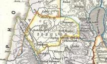
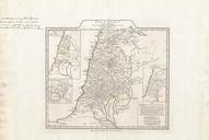
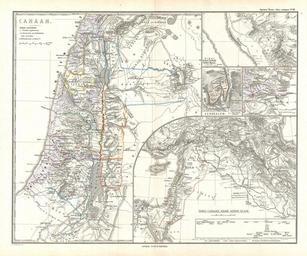
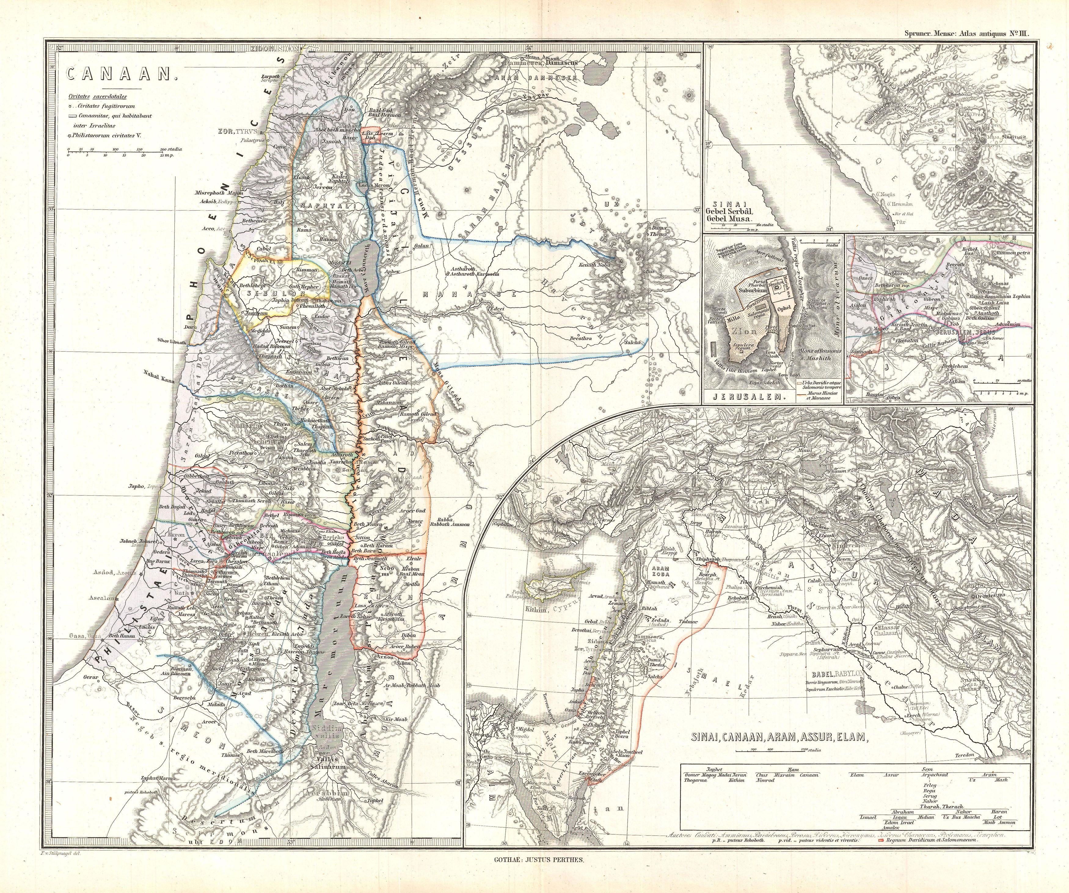
Spruner Map of Israel Canaan or Palestine in Ancient Times Geographicus Canaanspruner. Artwork Creator Karl Spruner von Merz This is Karl von Spruner map of Canaan Israel Palestine or the Holy Land in antiquity This detailed map focuses on the eastern Mediterranean coastline from Gaza to Sarepta and inland as far as the Dead Sea