
Related Images
Download:
| Tiny | 102x128 | View | Download |
| Small | 205x256 | View | Download |
| Medium | 411x512 | View | Download |
| Large | 823x1024 | View | Download |
| Original | 4019x5000 | View | Download |
This image was acquired from
wikimedia. It was marked as Public Domain or CC0 and is free to use. To verify, go to the source and check the information there.
Looking for more info about this image?
Try a Google Reverse Image Search for it.
Try a Google Reverse Image Search for it.
Keywords from Image Description:
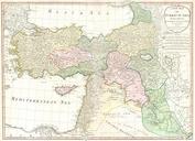
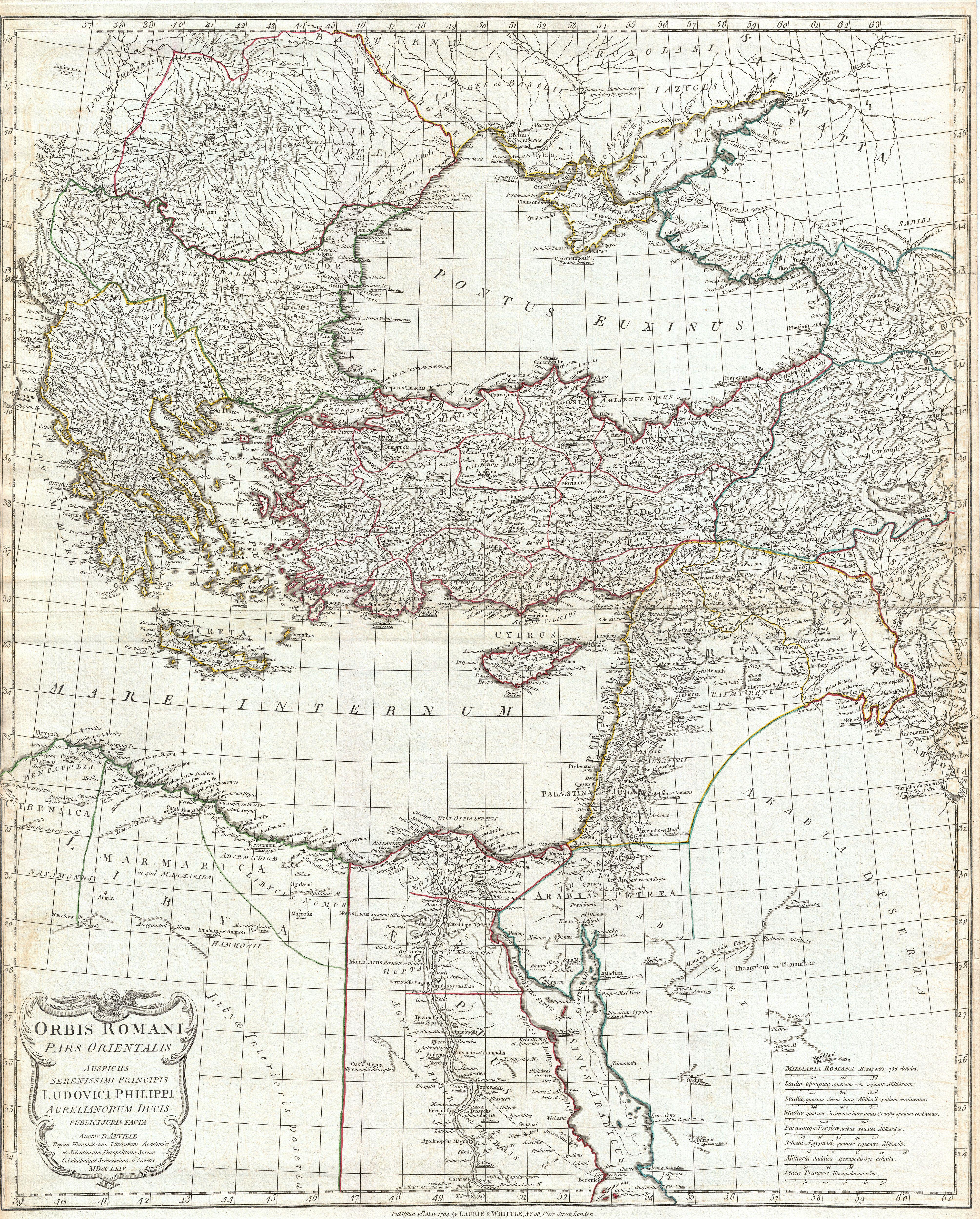
Anville Map of the Eastern Roman Empire inclues Greece Geographicus RomanEmpireEastanville. large and dramatic D'Anville map of the eastern part of the Roman Empire Covers from Greece Graecia and Dacia east as far as Babylonia Arabia and Armenia Extends south as far as Thebes in Upper Egypt Includes the eastern part of the Mediterranean