Related Images


Download:
| Tiny | 140x128 | View | Download |
| Small | 281x256 | View | Download |
| Medium | 562x512 | View | Download |
| Large | 1124x1024 | View | Download |
| Original | 6000x5466 | View | Download |
This image was acquired from
wikimedia. It was marked as Public Domain or CC0 and is free to use. To verify, go to the source and check the information there.
Looking for more info about this image?
Try a Google Reverse Image Search for it.
Try a Google Reverse Image Search for it.
Keywords from Image Description:
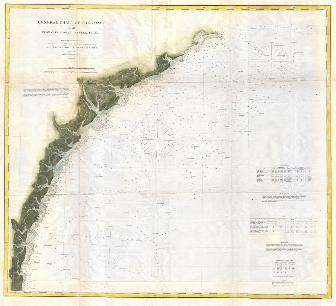
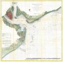
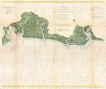
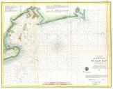
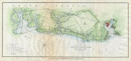
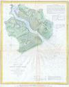
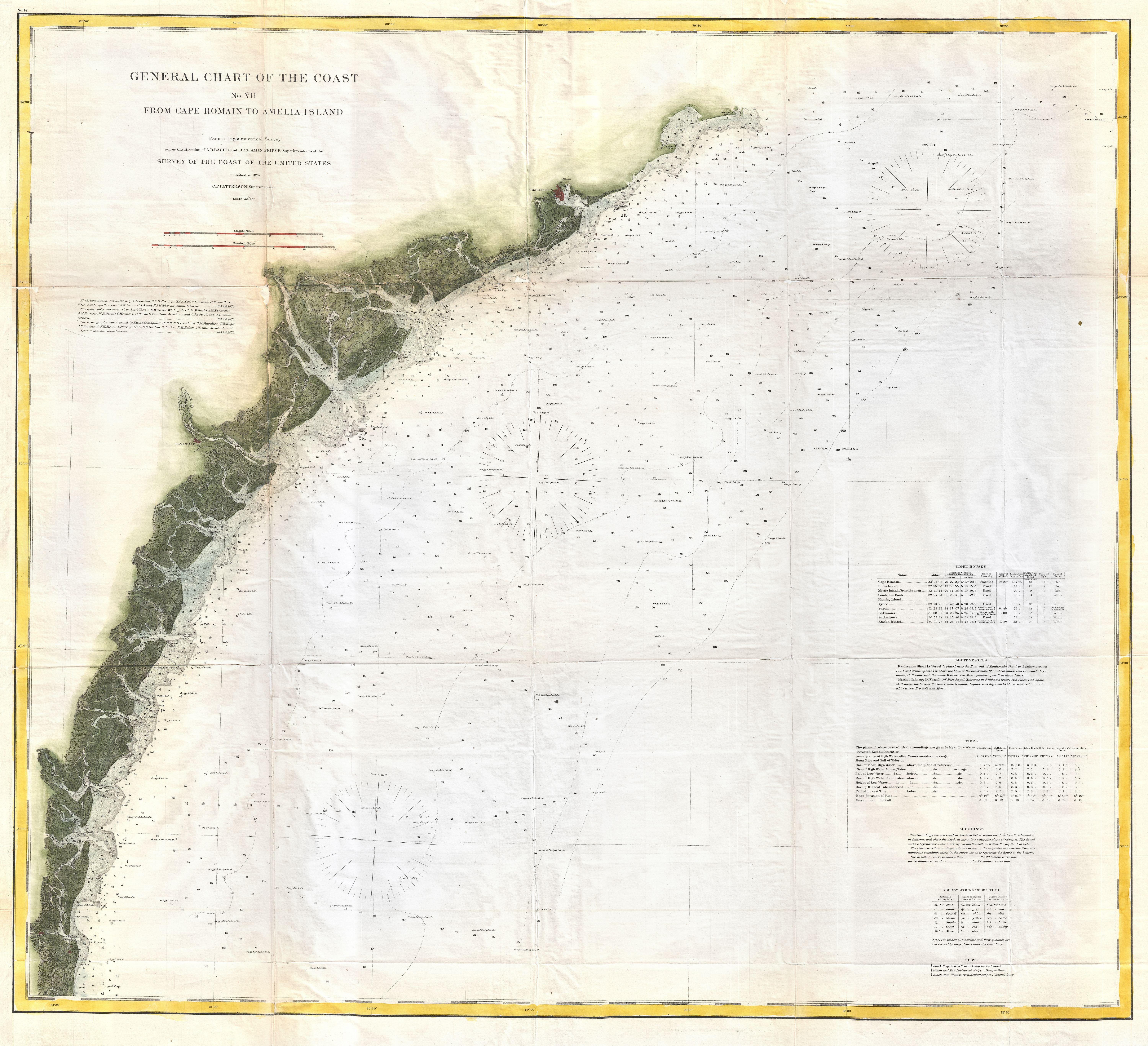
U.S. Coast Survey Map or Chart of the Georgia and Carolina Coast Charleston and Savannah Geographicus SavannahCarlestonuscs. This is the Coast Survey's map or chart of the coast of South Carolina Georgia and parts of Florida Covers from Cape Romain south past Charleston Beaufort and Savannah to Amelia Island Florida near Jacksonville