
Related Images


Download:
| Tiny | 94x128 | View | Download |
| Small | 188x256 | View | Download |
| Medium | 377x512 | View | Download |
| Large | 755x1024 | View | Download |
| Original | 2950x4000 | View | Download |
This image was acquired from
wikimedia. It was marked as Public Domain or CC0 and is free to use. To verify, go to the source and check the information there.
Looking for more info about this image?
Try a Google Reverse Image Search for it.
Try a Google Reverse Image Search for it.
Keywords from Image Description:
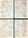
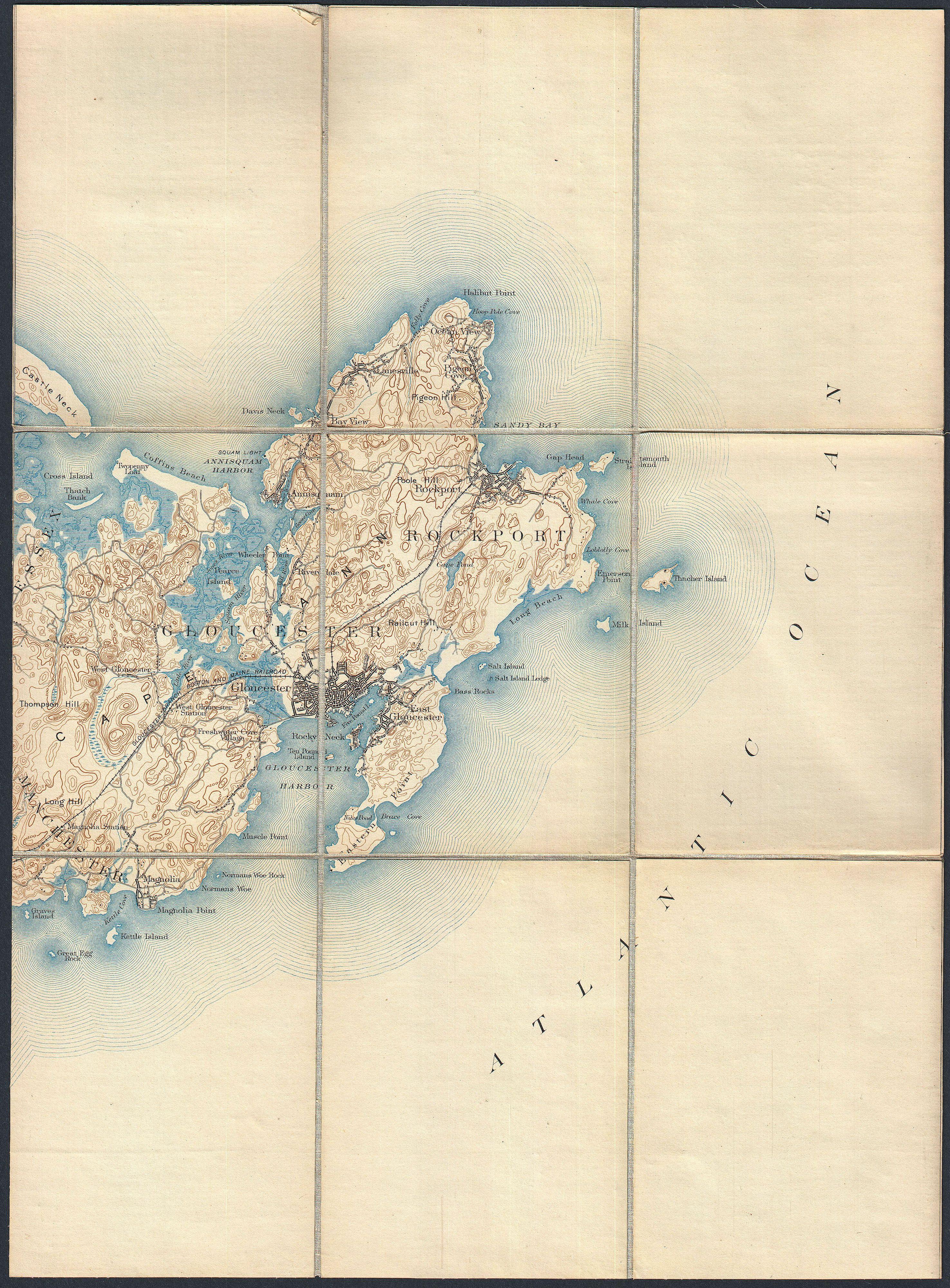
Pocket Map Version of the U.S. Geological Survey Map of Gloucester and Rockport Massachusetts Geographicus Gloucesterusgs. This is rare example of the Geological Survey map of Cape Ann Extends eastward from Manchester and Essex to include Gloucester Rockport Lanesville and Annisquam Offers copious topographical detail as well