
Related Images


Download:
| Tiny | 98x128 | View | Download |
| Small | 196x256 | View | Download |
| Medium | 392x512 | View | Download |
| Large | 785x1024 | View | Download |
| Original | 5419x7065 | View | Download |
This image was acquired from
wikimedia. It was marked as Public Domain or CC0 and is free to use. To verify, go to the source and check the information there.
Looking for more info about this image?
Try a Google Reverse Image Search for it.
Try a Google Reverse Image Search for it.
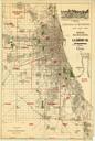
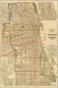
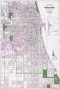
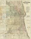
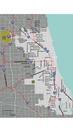
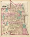
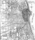
Keywords from Image Description:
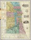
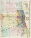
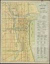
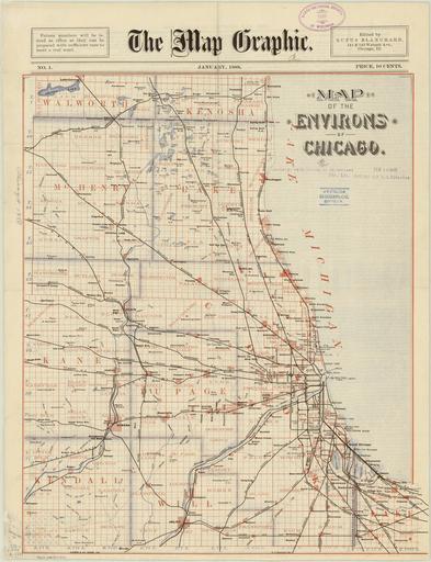
Chicago map by Blanchard. Map Map of the environs of Chicago Rufus Blanchard Blanchard Rufus lib uwm edu PDold map date Chicago warp status The Map Graphic print date accession number cm Davenport Del Zeese Co Engrs Chi The Map Graphic edited by Rufus Blanchard No January Map includes McHenry Lake Cook Kane Dupage