
Related Images


Download:
| Tiny | 86x128 | View | Download |
| Small | 172x256 | View | Download |
| Medium | 344x512 | View | Download |
| Large | 688x1024 | View | Download |
| Original | 7257x10792 | View | Download |
This image was acquired from
wikimedia. It was marked as Public Domain or CC0 and is free to use. To verify, go to the source and check the information there.
Looking for more info about this image?
Try a Google Reverse Image Search for it.
Try a Google Reverse Image Search for it.
Keywords from Image Description:
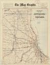
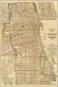
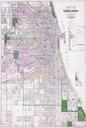
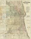
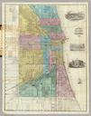
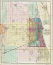
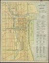
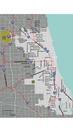
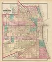
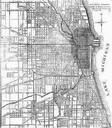
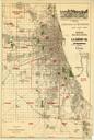
Chicago map by Blanchard. Map Includes advertising for Kerfoot Co Date of publication determined from location of Chicago city limits Insets Chicago in view Chicago in Blanchard Rufus lib uwm edu PDold map date Chicago warp status Blanchard Rufus print date accession number other versions maps Old maps of Chicago Chicago