
Related Images


Download:
| Tiny | 219x128 | View | Download |
| Small | 438x256 | View | Download |
| Medium | 877x512 | View | Download |
| Large | 1754x1024 | View | Download |
| Original | 4000x2335 | View | Download |
This image was acquired from
wikimedia. It was marked as Public Domain or CC0 and is free to use. To verify, go to the source and check the information there.
Looking for more info about this image?
Try a Google Reverse Image Search for it.
Try a Google Reverse Image Search for it.
Keywords from Image Description:
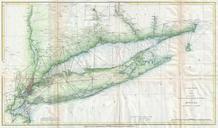
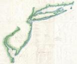
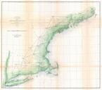
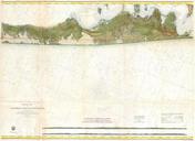
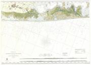
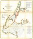
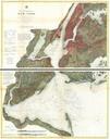
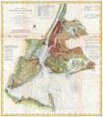
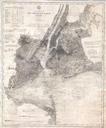
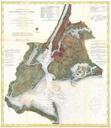
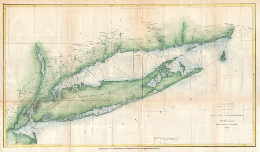
U.S. Coast Survey Chart or Map of Long Island New York Geographicus LongIslanduscs. An exceptional example of the Coast Survey's progress nautical chart for Long Island New York Covers from Staten Island and New York City eastward along Long Island and the coast of Connecticut to Block Island and Point Judith Shows triangulation