Related Images


Download:
| Tiny | 97x128 | View | Download |
| Small | 195x256 | View | Download |
| Medium | 390x512 | View | Download |
| Large | 780x1024 | View | Download |
| Original | 3813x5000 | View | Download |
This image was acquired from
wikimedia. It was marked as Public Domain or CC0 and is free to use. To verify, go to the source and check the information there.
Looking for more info about this image?
Try a Google Reverse Image Search for it.
Try a Google Reverse Image Search for it.
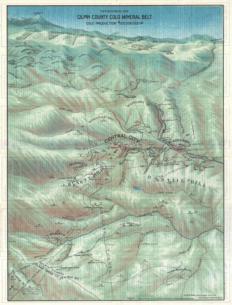
Keywords from Image Description:
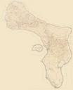
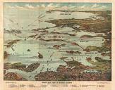
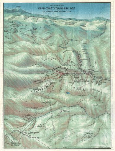
Clason Map or View of the Gilpin Colorado Gold and Mineral Belt Geographicus GilpinCountyColoradoclason. This is stunning broadside bird's eye view or map of Gilpin County Colorado Centered on Central City this view extends as far north as Rollinsville and Arapahoe Peak as far south as Bellevue Mountain as far east as Randolph