
Related Images

Download:
| Tiny | 143x128 | View | Download |
| Small | 287x256 | View | Download |
| Medium | 574x512 | View | Download |
| Large | 1149x1024 | View | Download |
| Original | 5000x4456 | View | Download |
This image was acquired from
wikimedia. It was marked as Public Domain or CC0 and is free to use. To verify, go to the source and check the information there.
Looking for more info about this image?
Try a Google Reverse Image Search for it.
Try a Google Reverse Image Search for it.
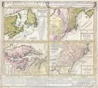
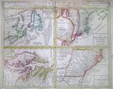
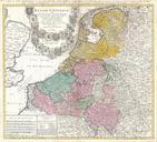
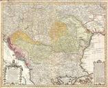
Keywords from Image Description:
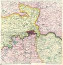
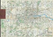
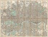
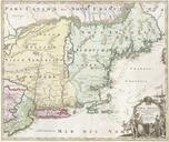
Homann View and Map of London England and Environs Geographicus Londonhomann. fine example of Homann Heirs iconic map of London and its environs Based heavily upon an earlier map of the region by Thomas Bowles this map covers the London area from Berkshire including Windsor Castle in the west to Shamel in the east extending