Related Images
Download:
| Tiny | 154x128 | View | Download |
| Small | 308x256 | View | Download |
| Medium | 617x512 | View | Download |
| Large | 1235x1024 | View | Download |
| Original | 5718x4741 | View | Download |
This image was acquired from
wikimedia. It was marked as Public Domain or CC0 and is free to use. To verify, go to the source and check the information there.
Looking for more info about this image?
Try a Google Reverse Image Search for it.
Try a Google Reverse Image Search for it.
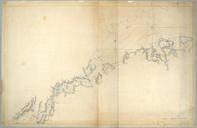
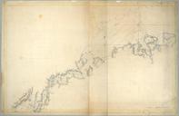
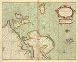
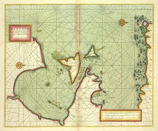
Keywords from Image Description:
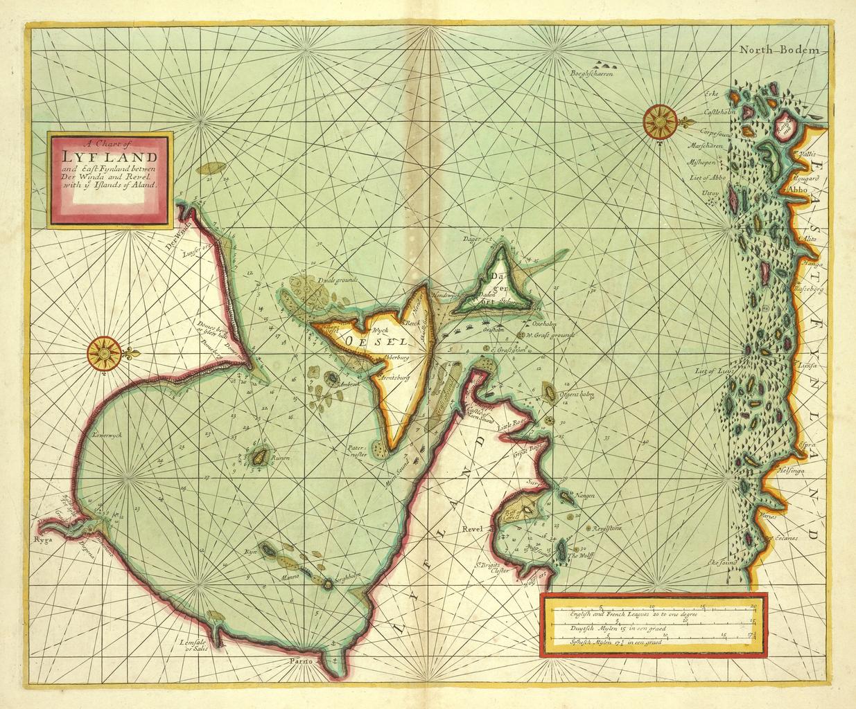
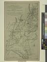
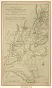
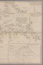
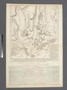
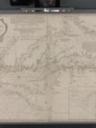
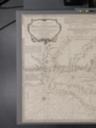
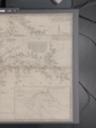
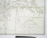
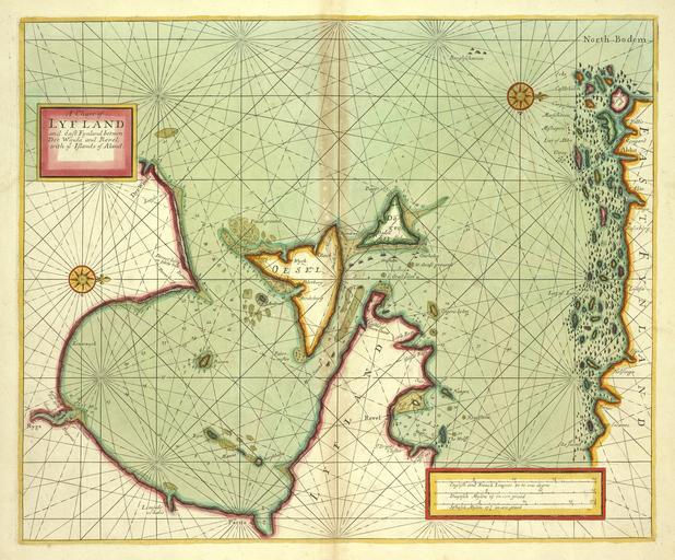
A chart of LYF LAND and East Fynland between Der Winda and Revel with Islands of Aland NYPL b. inserted in Sabin and Phillips nypl org Scan by NYPL chart of LYF LAND and East Fynland between Der Winda and Revel with Islands of Aland Nautical charts London Lionel Pincus and Princess Firyal Map Division dbafccfabdabc Atlases