Related Images


Download:
| Tiny | 109x128 | View | Download |
| Small | 219x256 | View | Download |
| Medium | 439x512 | View | Download |
| Large | 879x1024 | View | Download |
| Original | 4688x5459 | View | Download |
This image was acquired from
wikimedia. It was marked as Public Domain or CC0 and is free to use. To verify, go to the source and check the information there.
Looking for more info about this image?
Try a Google Reverse Image Search for it.
Try a Google Reverse Image Search for it.
Keywords from Image Description:
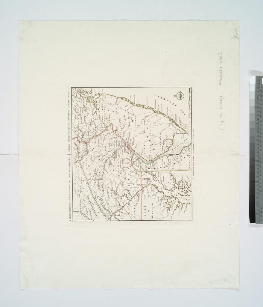
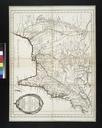
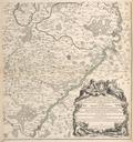
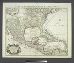
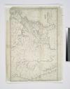
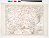
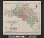
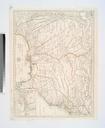
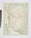
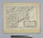
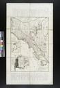
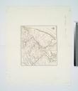
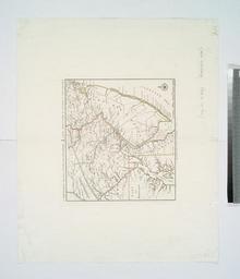
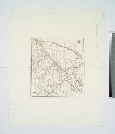
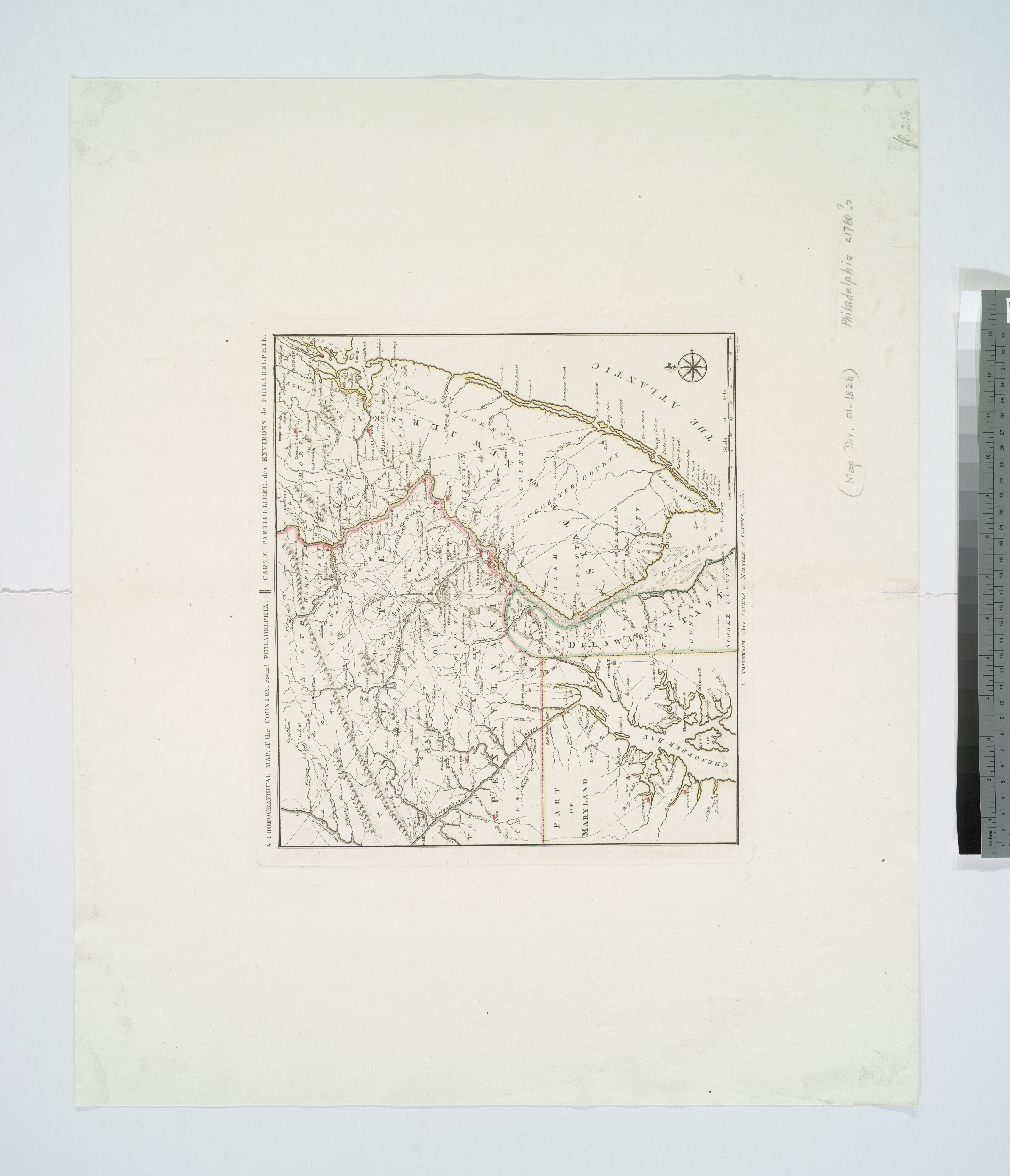
A chorographical map of the country round Philadelphia Carte particuliere des environs de Philadelphie NYPL b. en Shows Genl Howe's track from Elk River to Philadelphia Genl Washington's track and Grand American Winter Camp Jan at Valley Forge Relief shown pictorially National Endowment for the Humanities Grant for Access to Early