Related Images


Download:
| Tiny | 170x128 | View | Download |
| Small | 340x256 | View | Download |
| Medium | 681x512 | View | Download |
| Large | 1362x1024 | View | Download |
| Original tiff | 10326x7758 | View | Download |
| Original as jpg | 10326x7758 | View | Download |
This image was acquired from
wikimedia. It was marked as Public Domain or CC0 and is free to use. To verify, go to the source and check the information there.
Looking for more info about this image?
Try a Google Reverse Image Search for it.
Try a Google Reverse Image Search for it.
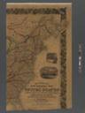
Keywords from Image Description:
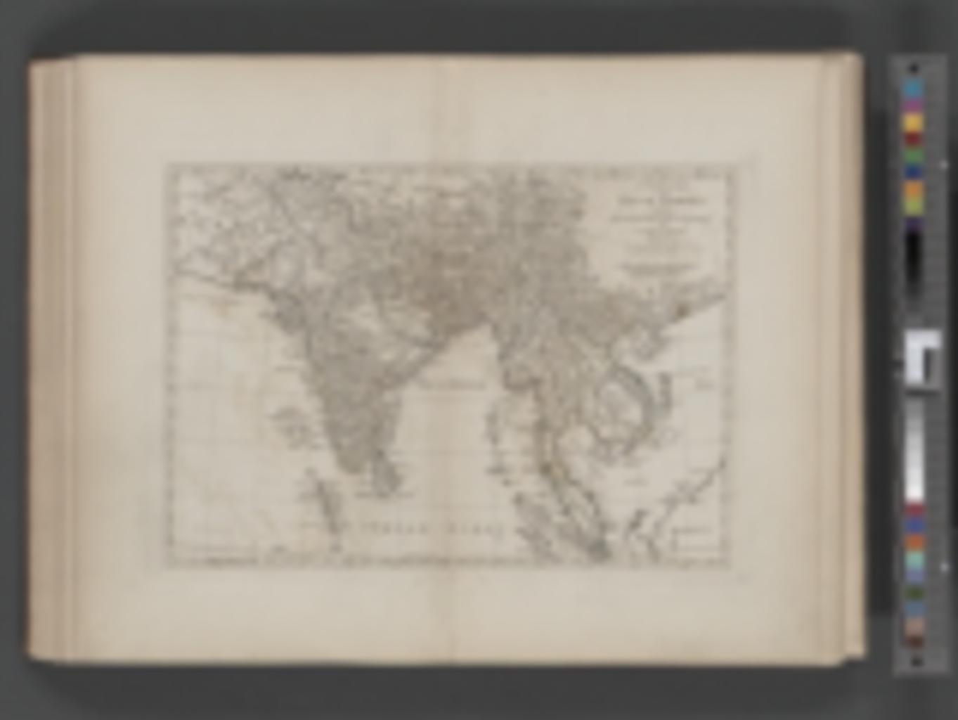
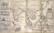
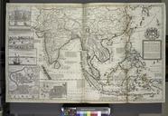
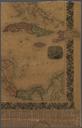
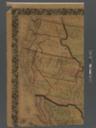
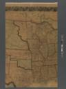
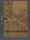
A complete map of the East Indies exhibiting the English territorial acquisitions NYPL b. nypl org Printed for Robert Sayer No FleetStreet complete map of the East Indies exhibiting the English territorial acquisitions Atlases British Early works to Geography London cecadab Atlases gazetteers guidebooks and other books fecddab