
Related Images


Download:
| Tiny | 185x128 | View | Download |
| Small | 371x256 | View | Download |
| Medium | 742x512 | View | Download |
| Large | 1484x1024 | View | Download |
| Original tiff | 6984x4818 | View | Download |
| Original as jpg | 6984x4818 | View | Download |
This image was acquired from
wikimedia. It was marked as Public Domain or CC0 and is free to use. To verify, go to the source and check the information there.
Looking for more info about this image?
Try a Google Reverse Image Search for it.
Try a Google Reverse Image Search for it.
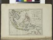
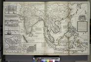
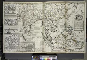
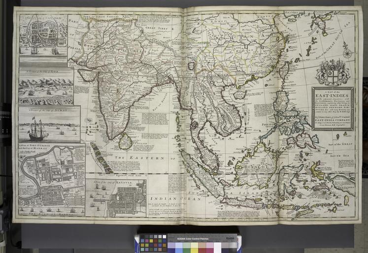
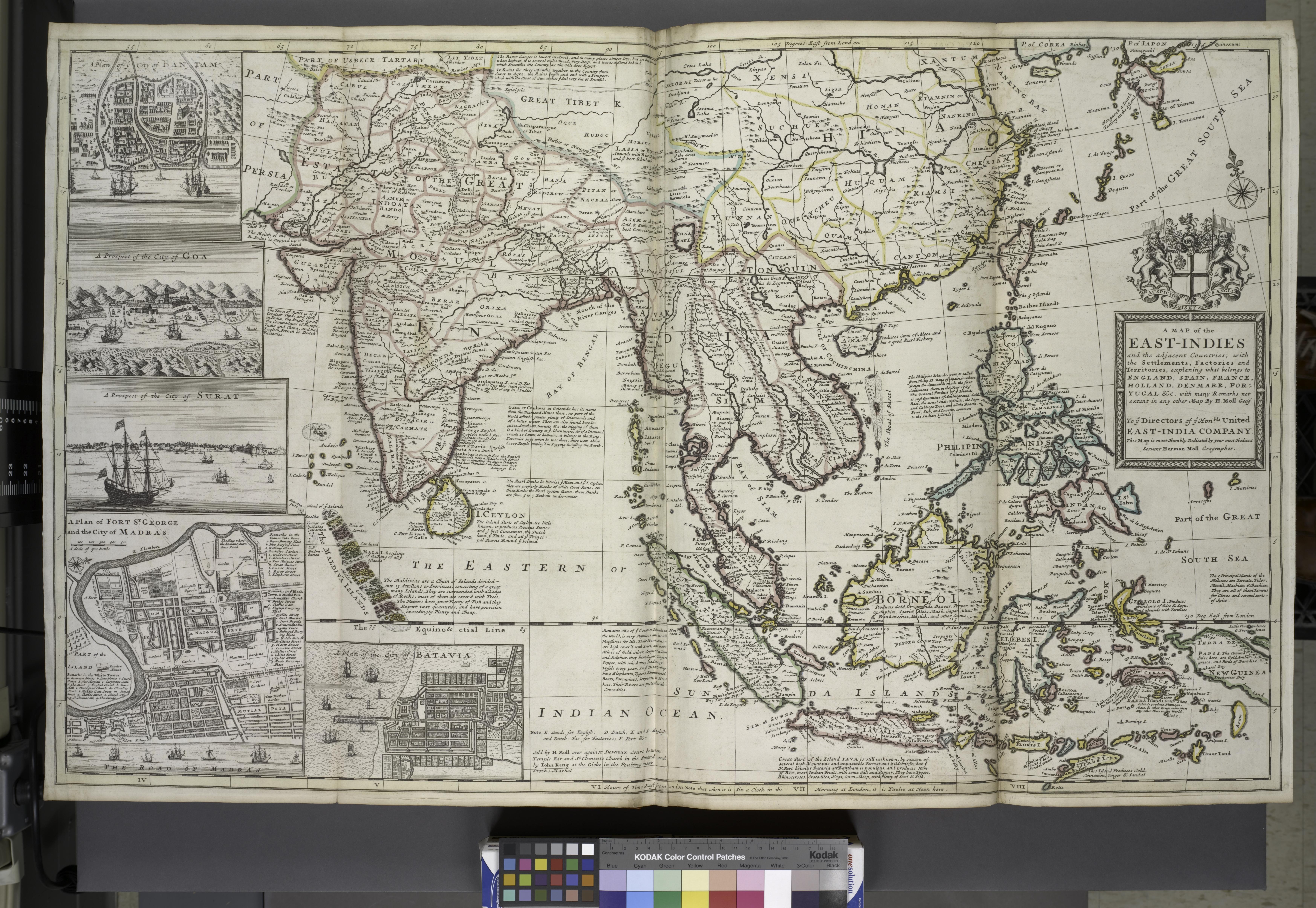
Keywords from Image Description:
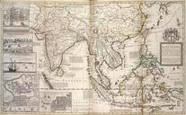
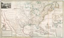
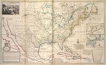
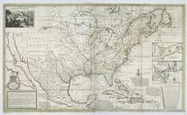
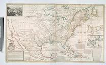
A map of the EastIndies and the adjacent countries with the settlements factories and territories explaning what belongs to England Spain France Holland Denmark Portugal etc ... NYPL. map hand col cm folded to cm map of the EastIndies and the adjacent countries with the settlements factories and territories explaning what belongs