
Related Images


Download:
| Tiny | 184x128 | View | Download |
| Small | 369x256 | View | Download |
| Medium | 738x512 | View | Download |
| Large | 1476x1024 | View | Download |
| Original | 3000x2080 | View | Download |
This image was acquired from
wikimedia. It was marked as Public Domain or CC0 and is free to use. To verify, go to the source and check the information there.
Looking for more info about this image?
Try a Google Reverse Image Search for it.
Try a Google Reverse Image Search for it.
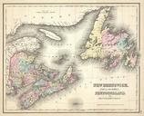
Keywords from Image Description:
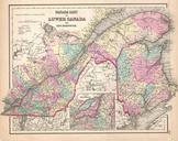
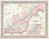
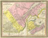
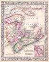
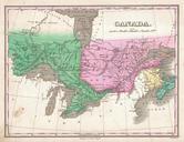
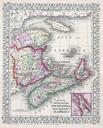
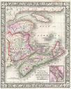
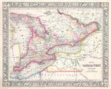
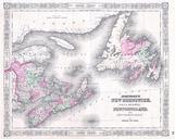
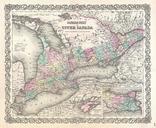
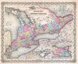
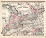
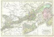
Black Map of Eastern Canada Ontario New Brunswick Geographicus CanadaEastb. This is fascinating hand colored map of Eastern Canada covers Ontario New Brunswick Quebec and Nova Scotia Inset includes Cape Breton Island and Prince Edward Island Size in object history credit line accession number CanadaEastb Geographicussource