
Related Images


Download:
| Tiny | 141x128 | View | Download |
| Small | 282x256 | View | Download |
| Medium | 565x512 | View | Download |
| Original png | 690x625 | View | Download |
| Original as jpg | 690x625 | View | Download |
This image was acquired from
wikimedia. It was marked as Public Domain or CC0 and is free to use. To verify, go to the source and check the information there.
Looking for more info about this image?
Try a Google Reverse Image Search for it.
Try a Google Reverse Image Search for it.
Keywords from Image Description:
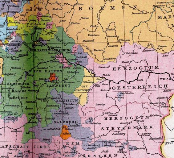
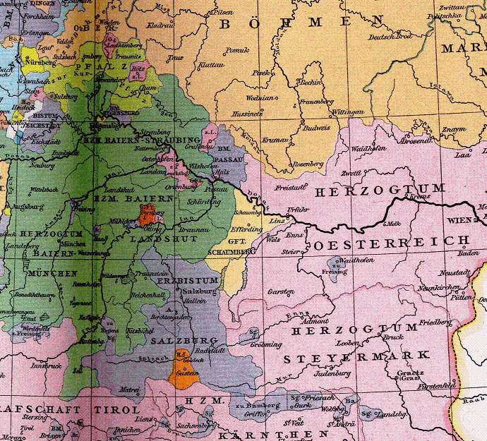
Allgemeiner historischer Handatlas Grafschaft Schaumberg im . Jahrhundert. the county of Schaunberg in the th century settled between Habsburg controlled Austria The Duchy of Bavaria the Archbishopric of Salzburg and the lands controlled by the bishop of Passau crop from larger map showing the Holy Roman Empire at org BmischesReich