Related Images
Download:
| Tiny | 190x128 | View | Download |
| Small | 380x256 | View | Download |
| Medium | 761x512 | View | Download |
| Large | 1522x1024 | View | Download |
| Original | 10473x7046 | View | Download |
This image was acquired from
wikimedia. It was marked as Public Domain or CC0 and is free to use. To verify, go to the source and check the information there.
Looking for more info about this image?
Try a Google Reverse Image Search for it.
Try a Google Reverse Image Search for it.
Keywords from Image Description:
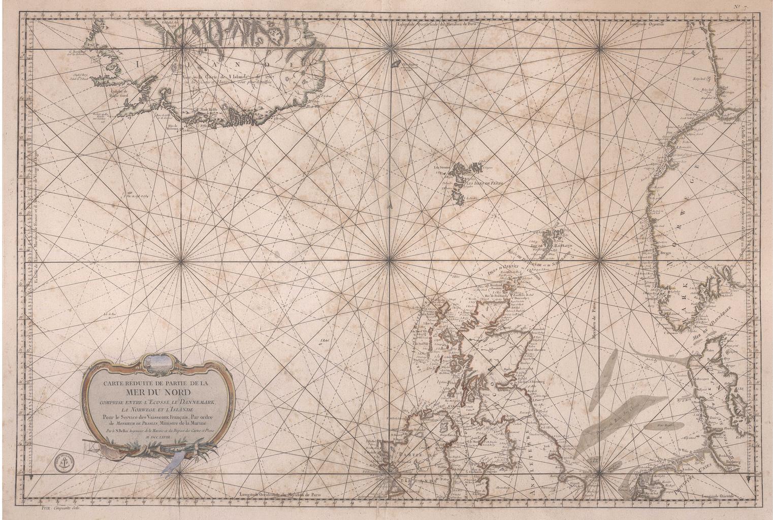
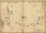
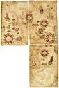
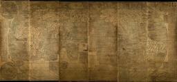
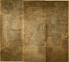
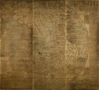
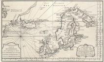
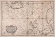
Bellin map Carte reduite de partie de la Mer du Nord comprise entre Ecosse le Dannemark la Norwege et Islande. Carte rduite de partie de la Mer du Nord comprise entre l'Ecosse le Dannemark la Norwege et l'Islande de Portolankarte des Europischen Nordmeeres und der Nordsee nebst den angrenzenden Ksten und Lndern en Portolan map of