
Related Images


Download:
| Tiny | 79x128 | View | Download |
| Small | 158x256 | View | Download |
| Medium | 317x512 | View | Download |
| Large | 635x1024 | View | Download |
| Original png | 663x1069 | View | Download |
| Original as jpg | 663x1069 | View | Download |
This image was acquired from
wikimedia. It was marked as Public Domain or CC0 and is free to use. To verify, go to the source and check the information there.
Looking for more info about this image?
Try a Google Reverse Image Search for it.
Try a Google Reverse Image Search for it.
Keywords from Image Description:
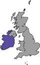
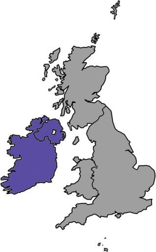
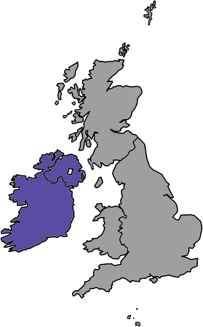
BIThumbMap IRLedit. Map showing Ireland the island within the British Isles designed for use at very low resolutions Own Ras recolored by Sagredo December UTC Maps of the United Kingdom