Related Images

Download:
| Tiny | 161x128 | View | Download |
| Small | 323x256 | View | Download |
| Medium | 647x512 | View | Download |
| Large | 1294x1024 | View | Download |
| Original | 4500x3561 | View | Download |
This image was acquired from
wikimedia. It was marked as Public Domain or CC0 and is free to use. To verify, go to the source and check the information there.
Looking for more info about this image?
Try a Google Reverse Image Search for it.
Try a Google Reverse Image Search for it.
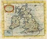
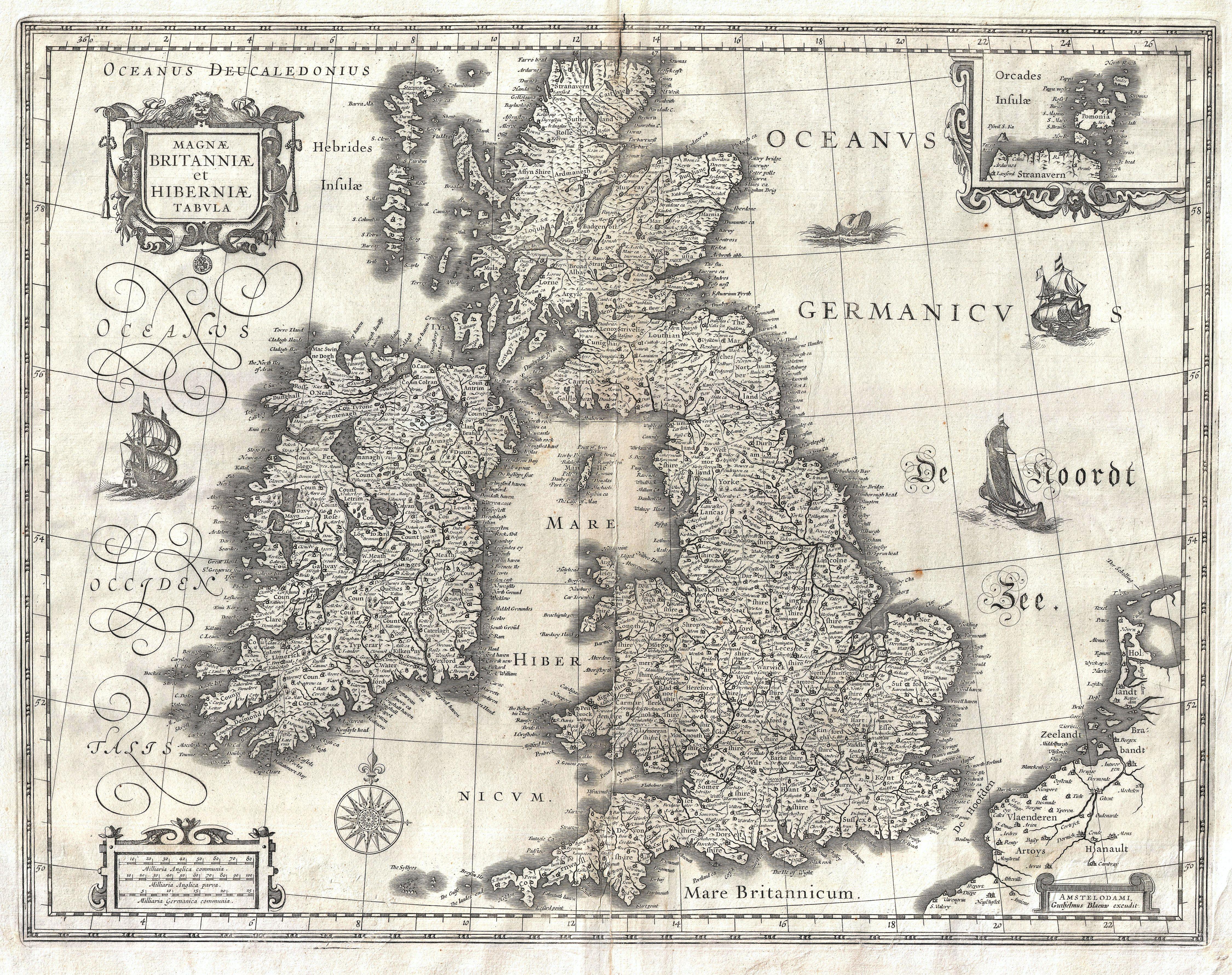
Keywords from Image Description:
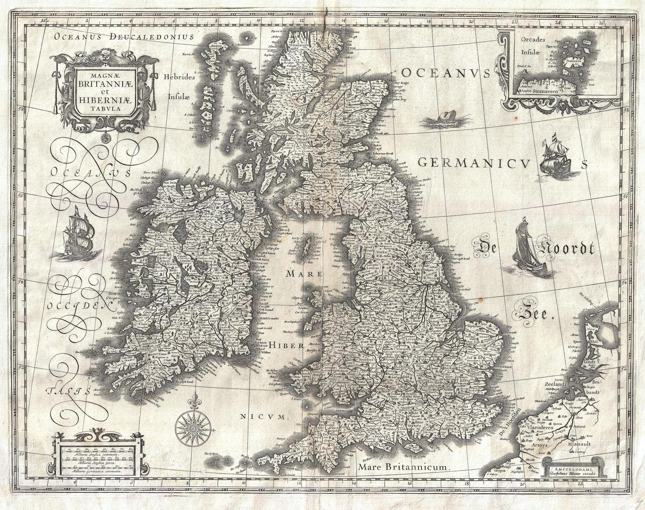
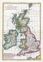
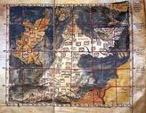
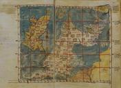
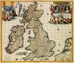
Blaeu Map of the British Isles England Scotland Ireland Geographicus BritanniaeHiberniaeblaeu. Artwork Creator Willem Janszoon Blaeu Magnae Britanniae et Hiberniae Tabula This is Guillaume Blaeu map of the British Isles Covers all of England Scotland Wales and Ireland with adjacent parts of France and Holland and an inset of the