Related Images


Download:
| Tiny | 141x128 | View | Download |
| Small | 283x256 | View | Download |
| Medium | 566x512 | View | Download |
| Original | 992x896 | View | Download |
This image was acquired from
wikimedia. It was marked as Public Domain or CC0 and is free to use. To verify, go to the source and check the information there.
Looking for more info about this image?
Try a Google Reverse Image Search for it.
Try a Google Reverse Image Search for it.
Keywords from Image Description:
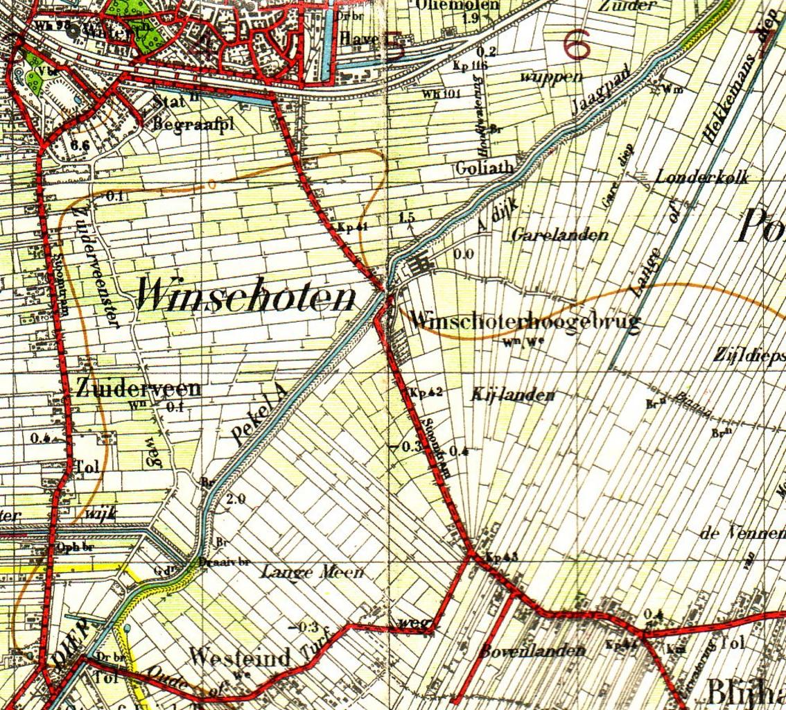
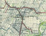
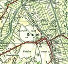
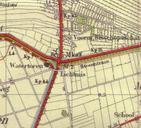
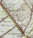
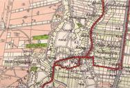
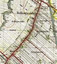
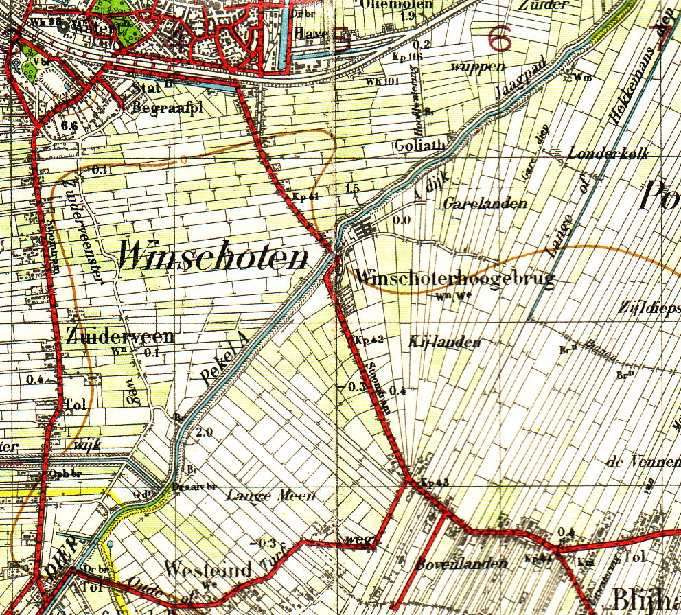
Bovenloop Pekel Aa op Topografische kaart . en Topografical map of the upper part of the Pekel Aa in Explored in published in nl Topografische kaart uit van wat tegenwoordig de bovenloop zonder het gedeelte dat vergraven is tot het Pekelderdiep is van de Pekel Aa Van de Blijhamster brug zuidwaarts Topografische kaart nr Boertange