
Related Images


Download:
| Tiny | 108x128 | View | Download |
| Small | 217x256 | View | Download |
| Medium | 434x512 | View | Download |
| Original | 831x979 | View | Download |
This image was acquired from
wikimedia. It was marked as Public Domain or CC0 and is free to use. To verify, go to the source and check the information there.
Looking for more info about this image?
Try a Google Reverse Image Search for it.
Try a Google Reverse Image Search for it.
Keywords from Image Description:
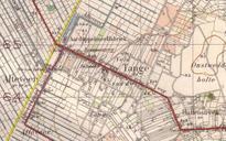
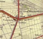
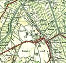
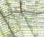
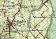
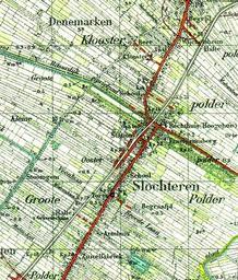
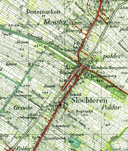
Slochteren op topografische kaart van . Slochteren op de topografische kaart van Aangezien het auteursrecht berustte bij de Staat der Nederlanden en de kaart ouder is dan jaar is het auteursrecht verlopen PDold Old maps of Groningen province Maps of Slochteren