
Related Images

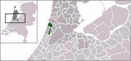

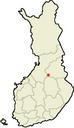
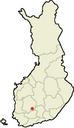


Download:
| Tiny | 127x128 | View | Download |
| Small | 254x256 | View | Download |
| Medium | 509x512 | View | Download |
| Large | 1019x1024 | View | Download |
| Original | 1427x1433 | View | Download |
This image was acquired from
wikimedia. It was marked as Public Domain or CC0 and is free to use. To verify, go to the source and check the information there.
Looking for more info about this image?
Try a Google Reverse Image Search for it.
Try a Google Reverse Image Search for it.
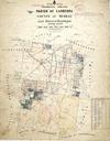
Keywords from Image Description:
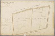
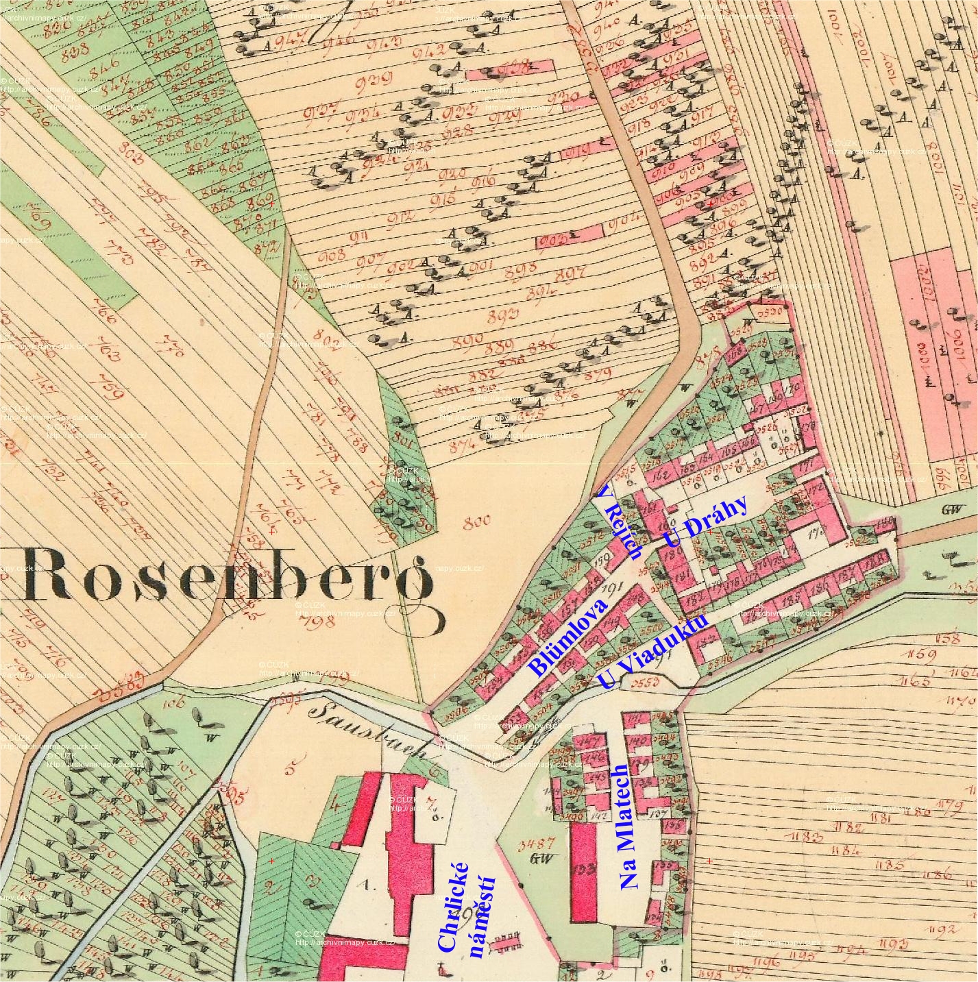
Cadastral map of former municipality of Roznberk Rov. en Cadastral map of former municipality of Roznberk in current city district BrnoChrlice cs Katastrln mapa bval obce Roznberg na zem souasn mstsk sti BrnoChrlice cuzk cz Original map created by offices of Austrian Empire Edited by Kirk PDold Cadastral maps Rov Location not