
Related Images


Download:
| Tiny | 171x128 | View | Download |
| Small | 342x256 | View | Download |
| Medium | 684x512 | View | Download |
| Original | 793x593 | View | Download |
This image was acquired from
wikimedia. It was marked as Public Domain or CC0 and is free to use. To verify, go to the source and check the information there.
Looking for more info about this image?
Try a Google Reverse Image Search for it.
Try a Google Reverse Image Search for it.
Keywords from Image Description:
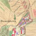
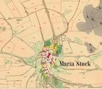
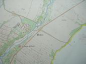
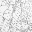
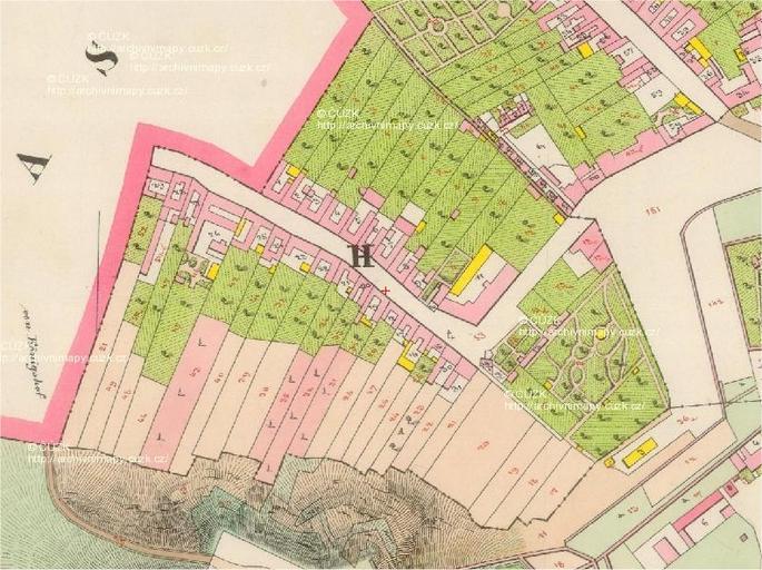
Cadastral map of vbka . cs Katastrln mapa bval vesnice vbka roku en Cadastral map of former village of vbka cuzk cz Offices of Austrian Empire PDold Location not applicable Brno City Veve Maps of Brno Maps of the Franciscan Cadaster of Austrian Empire