Related Images


Download:
| Tiny | 165x128 | View | Download |
| Small | 331x256 | View | Download |
| Medium | 662x512 | View | Download |
| Large | 1324x1024 | View | Download |
| Original | 7668x5927 | View | Download |
This image was acquired from
wikimedia. It was marked as Public Domain or CC0 and is free to use. To verify, go to the source and check the information there.
Looking for more info about this image?
Try a Google Reverse Image Search for it.
Try a Google Reverse Image Search for it.
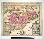
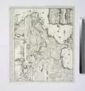
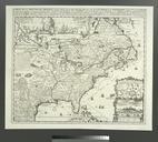
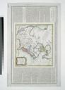
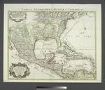
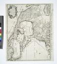
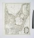
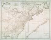
Keywords from Image Description:
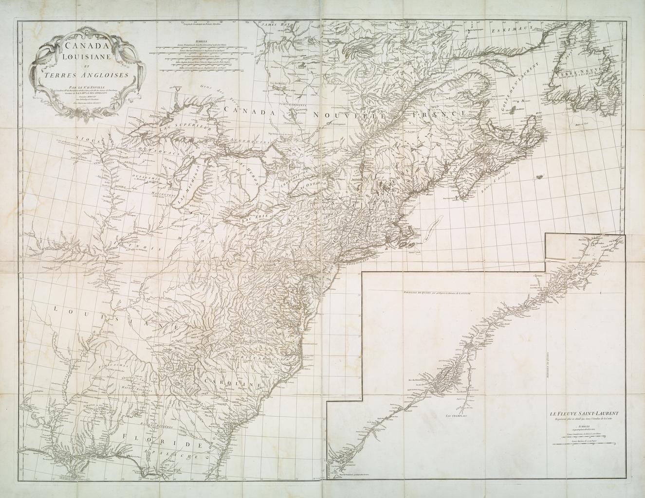
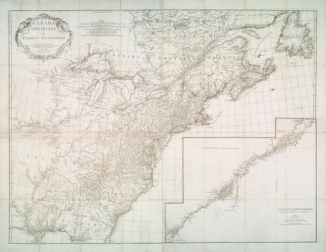
Canada Louisiane et terres angloises NYPL b. en Includes inset on southeastern sheet Le Fleuve SaintLaurent reprsent plus en dtail que dans l'tendue de la carte Citation Phillips Citation Karpinski Printed maps of Michigan LIX Citation Cumming NYPL copy on sheet nypl org Scan by NYPL Canada Louisiane et terres angloises Paris