Related Images


Download:
| Tiny | 158x128 | View | Download |
| Original png | 262x212 | View | Download |
| Original as jpg | 262x212 | View | Download |
This image was acquired from
wikimedia. It was marked as Public Domain or CC0 and is free to use. To verify, go to the source and check the information there.
Looking for more info about this image?
Try a Google Reverse Image Search for it.
Try a Google Reverse Image Search for it.
Keywords from Image Description:
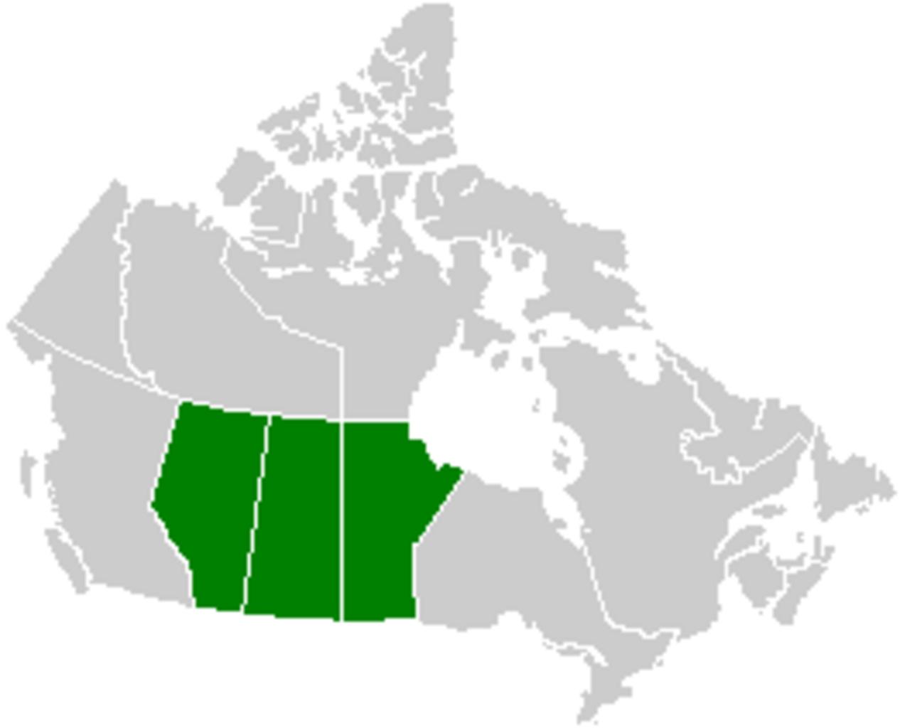
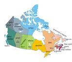
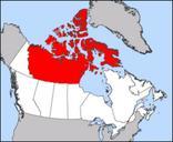
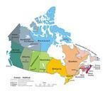
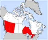
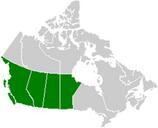
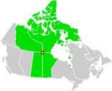
Canada Prairie provinces map. Canada Prairie provinces map svg Map of the Prairie provinces in central Canada The northern reach or the Great Plains of North America are found in these provinces See Image Canada provinces blank vide for additional information Carte des provinces des Prairies Voir Image Canada provinces blank vide