
Related Images


Download:
| Tiny | 148x128 | View | Download |
| Small | 296x256 | View | Download |
| Medium | 592x512 | View | Download |
| Large | 1184x1024 | View | Download |
| Original png | 1280x1107 | View | Download |
| Original as jpg | 1280x1107 | View | Download |
This image was acquired from
wikimedia. It was marked as Public Domain or CC0 and is free to use. To verify, go to the source and check the information there.
Looking for more info about this image?
Try a Google Reverse Image Search for it.
Try a Google Reverse Image Search for it.
Keywords from Image Description:
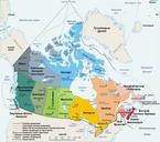
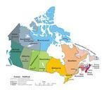
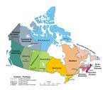
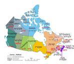
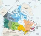
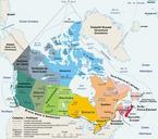
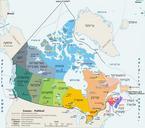
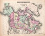
Political map of Canada. map ten provinces and three territories and their capitals Lambert conformal conic projection from gc ca The Atlas of Canada Own Pluribus Anthony transferred to Commons by Kaveh org php title Special Log page File MapCanadapolitical log optimized by Andrew pmk en English Pluribus