Related Images


Download:
| Tiny | 186x128 | View | Download |
| Small | 373x256 | View | Download |
| Medium | 747x512 | View | Download |
| Large | 1494x1024 | View | Download |
| Original | 1600x1096 | View | Download |
This image was acquired from
wikimedia. It was marked as Public Domain or CC0 and is free to use. To verify, go to the source and check the information there.
Looking for more info about this image?
Try a Google Reverse Image Search for it.
Try a Google Reverse Image Search for it.
Keywords from Image Description:
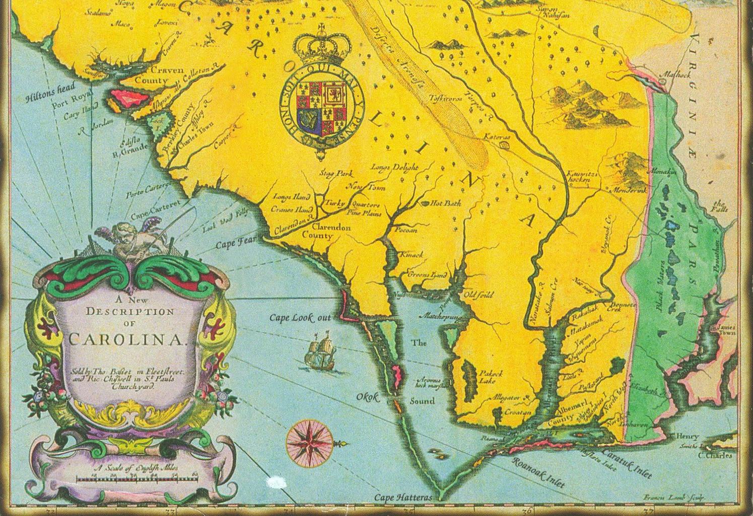
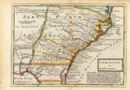
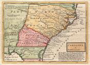
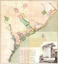
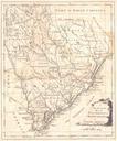
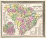
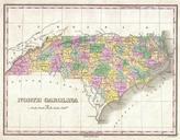
Carolina Vintage Map. This map was made by John Speed who lived from to The map was drawn horizontally with North to the right Note the spelling Ocracoke Okok and Roanoke Roanoak Oregon Inlet hadsn't been formed yet and Roanoak Inlet no longer exists PDold Maps of the Thirteen Colonies History of North Carolina Historical images