Related Images


Download:
| Tiny | 174x128 | View | Download |
| Small | 348x256 | View | Download |
| Medium | 697x512 | View | Download |
| Large | 1395x1024 | View | Download |
| Original | 3400x2494 | View | Download |
This image was acquired from
wikimedia. It was marked as Public Domain or CC0 and is free to use. To verify, go to the source and check the information there.
Looking for more info about this image?
Try a Google Reverse Image Search for it.
Try a Google Reverse Image Search for it.
Keywords from Image Description:
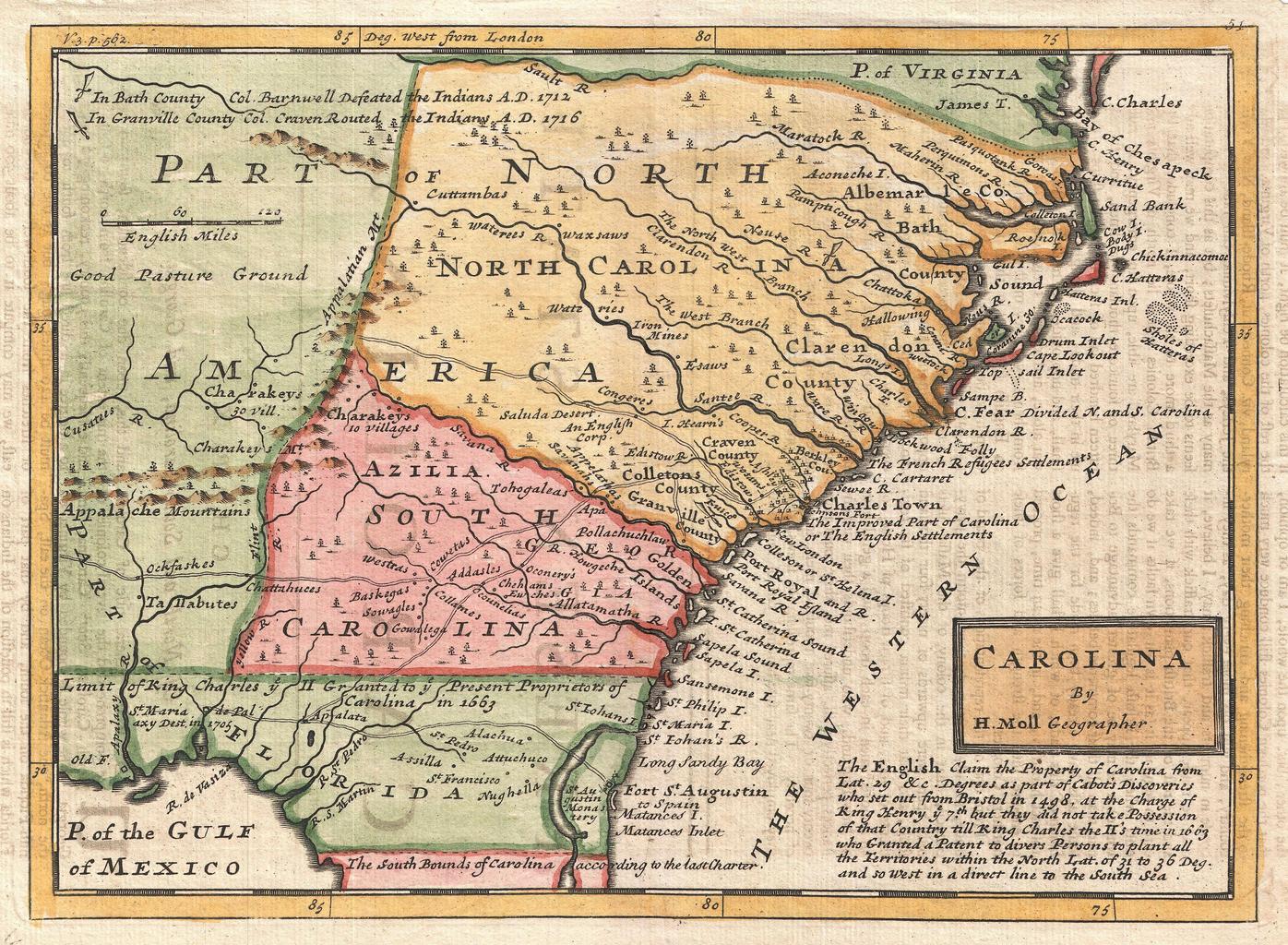
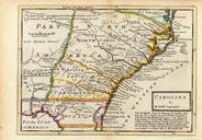
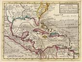
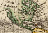
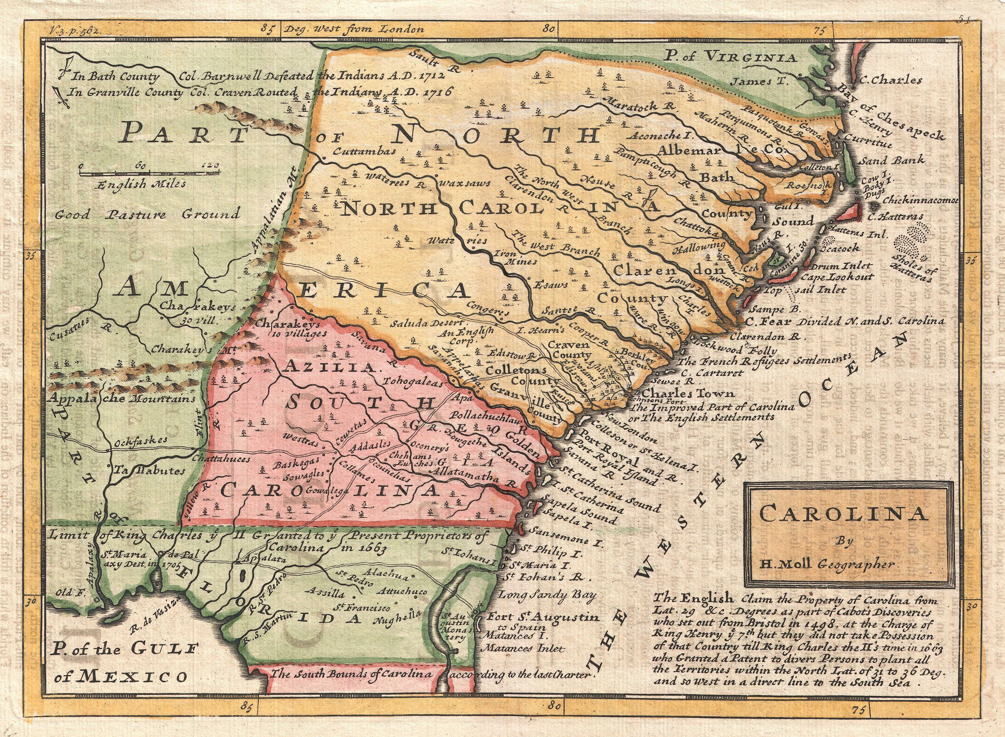
Herman Moll Map of Carolina Geographicus CarolinabyMollmoll. small but significant map of Carolina by Herman Moll This map covers from the mouth of the Chesapeake to St Augustine and from the Atlantic westward to the mouth of the Apalache River encompassing the entire territory defined by the Carolina Grant of as well as additional