Related Images


Download:
| Tiny | 179x128 | View | Download |
| Small | 359x256 | View | Download |
| Medium | 718x512 | View | Download |
| Large | 1437x1024 | View | Download |
| Original | 4500x3206 | View | Download |
This image was acquired from
wikimedia. It was marked as Public Domain or CC0 and is free to use. To verify, go to the source and check the information there.
Looking for more info about this image?
Try a Google Reverse Image Search for it.
Try a Google Reverse Image Search for it.
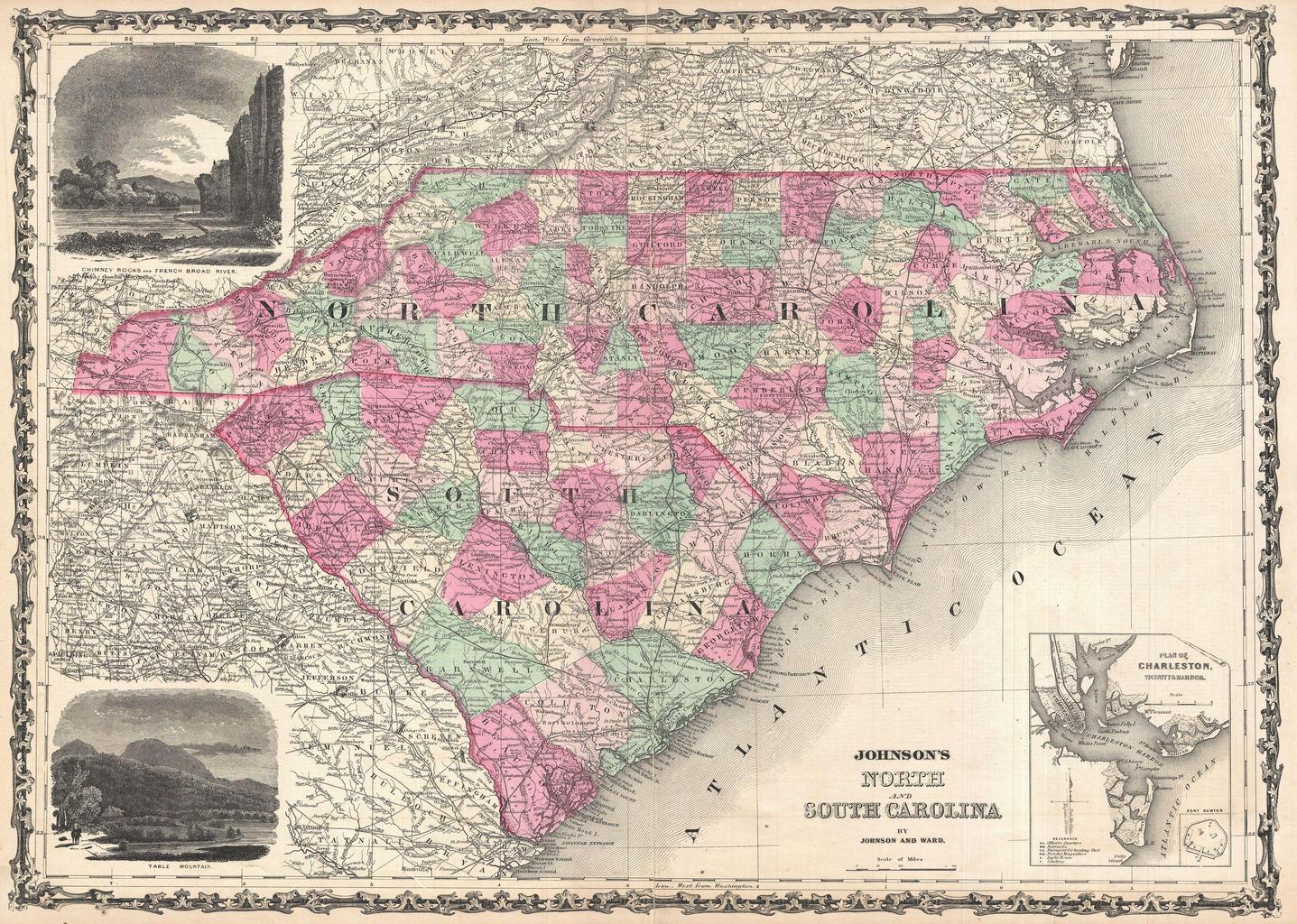
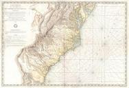
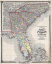
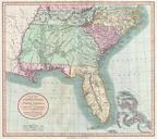
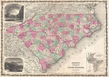
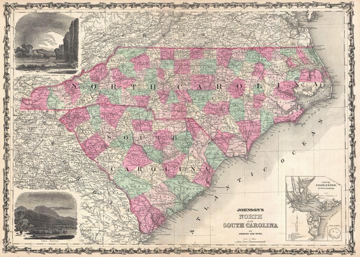
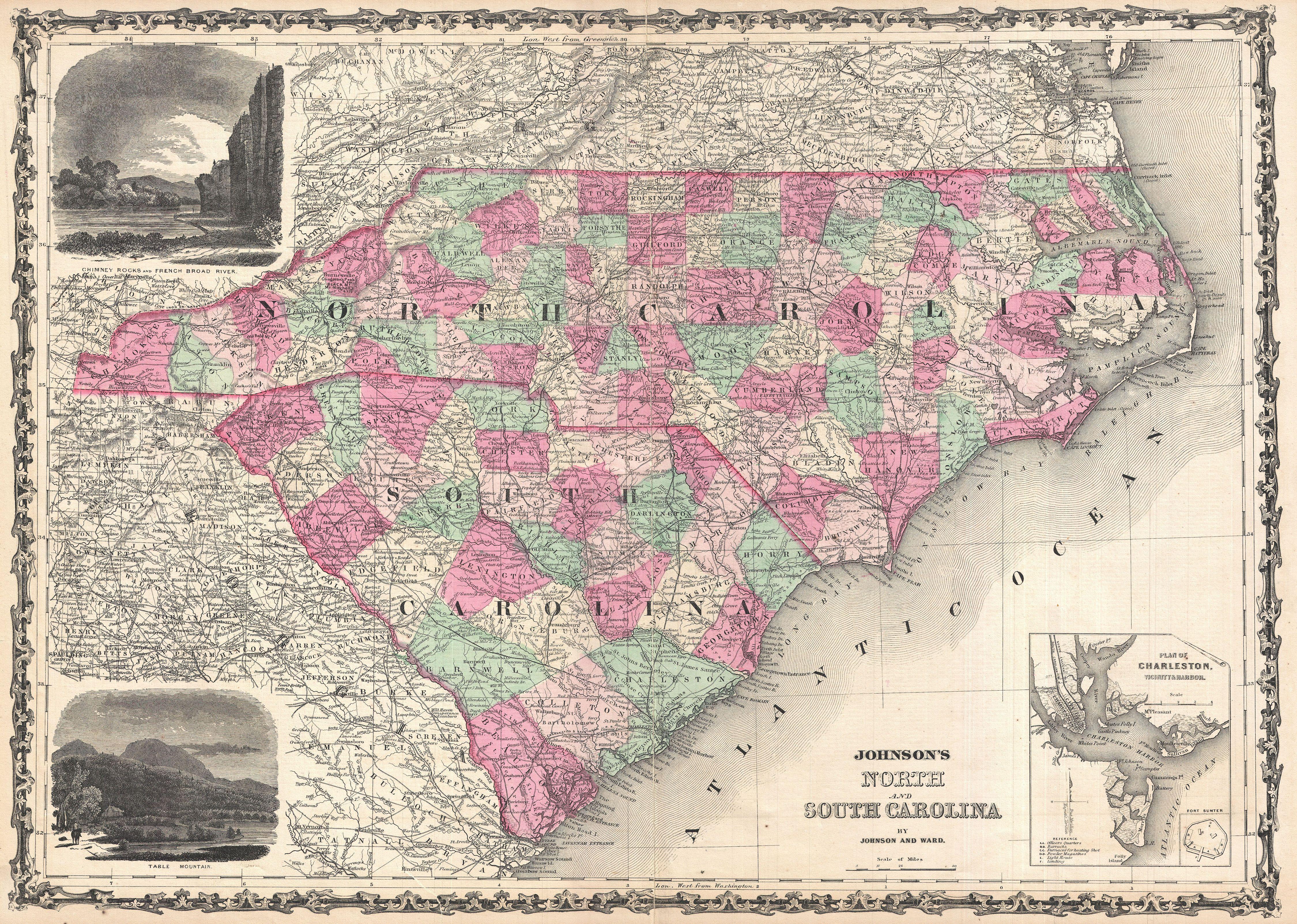
Keywords from Image Description:
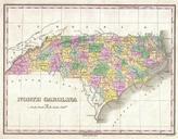
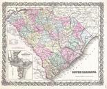
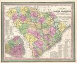
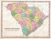
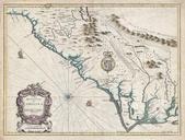
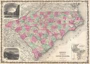
Johnson Map of North Carolina and South Carolina Geographicus Carolinajohnson. beautiful example of Johnson map of North Carolina and South Carolina Offers fascinating snapshot of these states during the American Civil War Map shows both states in full with color coding according to county An inset map in the lower right hand