Related Images


Download:
| Tiny | 176x128 | View | Download |
| Small | 352x256 | View | Download |
| Medium | 704x512 | View | Download |
| Large | 1408x1024 | View | Download |
| Original | 4754x3456 | View | Download |
This image was acquired from
wikimedia. It was marked as Public Domain or CC0 and is free to use. To verify, go to the source and check the information there.
Looking for more info about this image?
Try a Google Reverse Image Search for it.
Try a Google Reverse Image Search for it.
Keywords from Image Description:
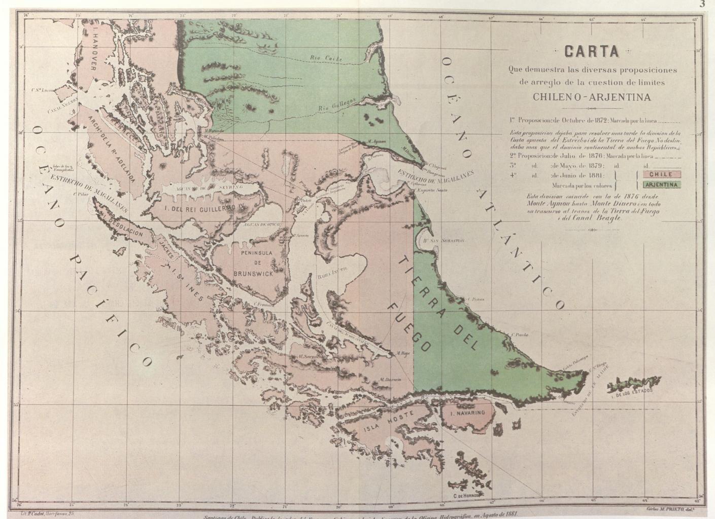
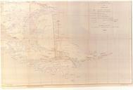
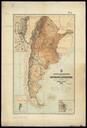
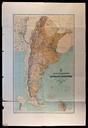
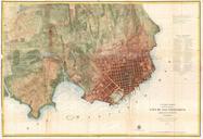
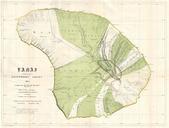
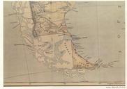
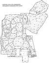
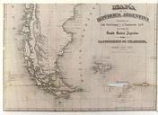
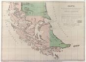
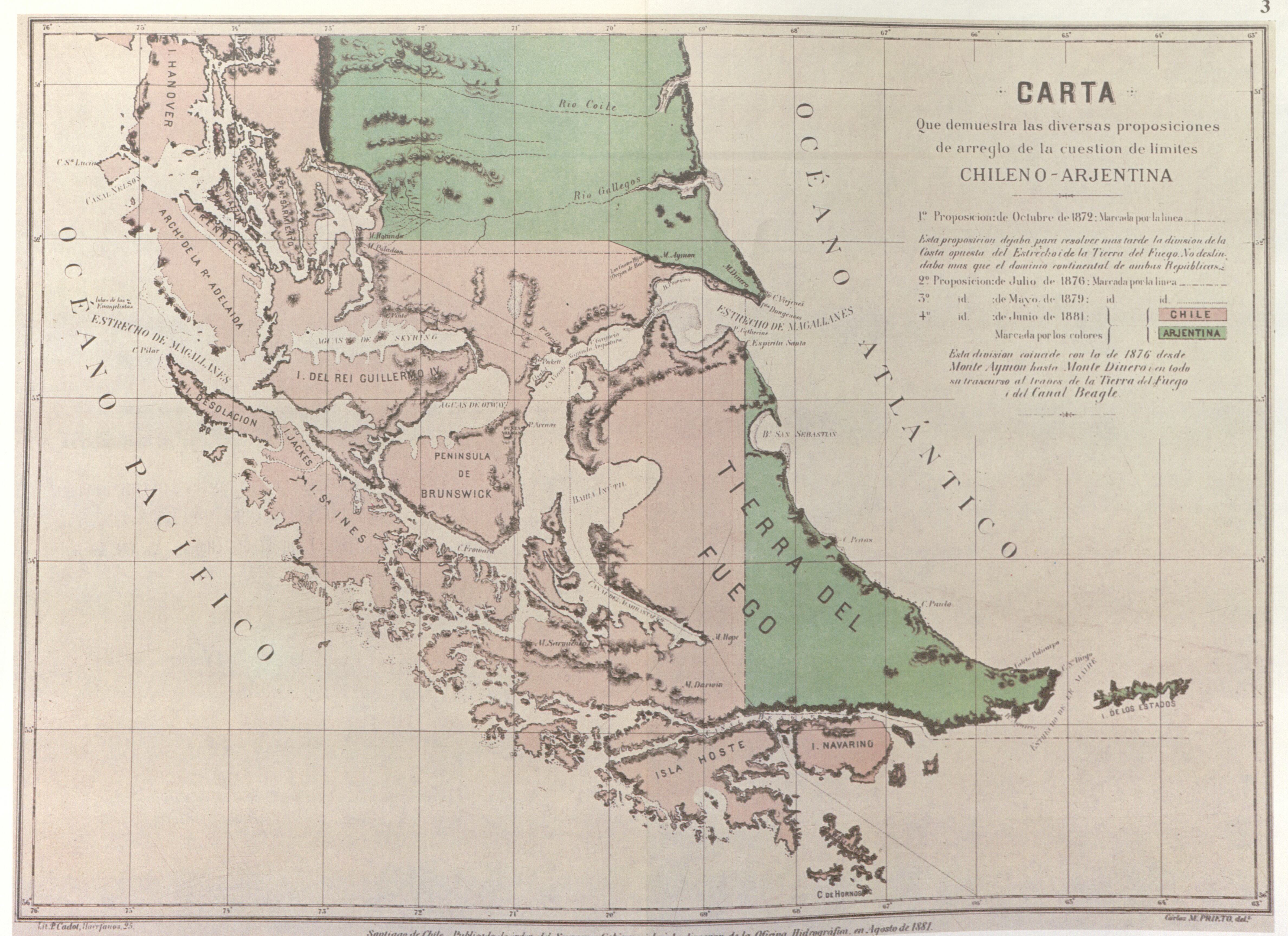
Chile.CarlosPrieto.. Official Map of the Chilean Hydrographic Office issued in August The Government of Chile had this official map issued in to illustrate both the newly signed Boundary Treaty of July and the various proposals for boundary limits submitted during the course of negociations between Chile and Argentina during