
Related Images


Download:
| Tiny | 227x128 | View | Download |
| Small | 454x256 | View | Download |
| Medium | 908x512 | View | Download |
| Original | 1100x620 | View | Download |
This image was acquired from
wikimedia. It was marked as Public Domain or CC0 and is free to use. To verify, go to the source and check the information there.
Looking for more info about this image?
Try a Google Reverse Image Search for it.
Try a Google Reverse Image Search for it.
Keywords from Image Description:
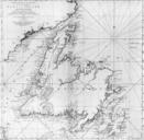
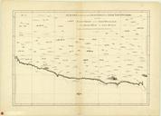
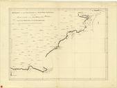
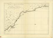
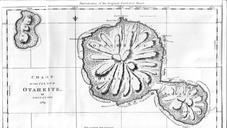
Cook chart of Otaheite. This is an facsimile of Lieutenant later Captain James Cook's chart of the island of Otaheite today called Tahiti Taken from the Project Gutenberg edition of Captain Cook's Journal First Voyage which is based on an publication of Cook's original manuscript Original created in this facsimilar published in