Related Images


Download:
| Tiny | 180x128 | View | Download |
| Small | 360x256 | View | Download |
| Medium | 720x512 | View | Download |
| Original png | 1441x1024 | View | Download |
| Original as jpg | 1441x1024 | View | Download |
This image was acquired from
wikimedia. It was marked as Public Domain or CC0 and is free to use. To verify, go to the source and check the information there.
Looking for more info about this image?
Try a Google Reverse Image Search for it.
Try a Google Reverse Image Search for it.
Keywords from Image Description:
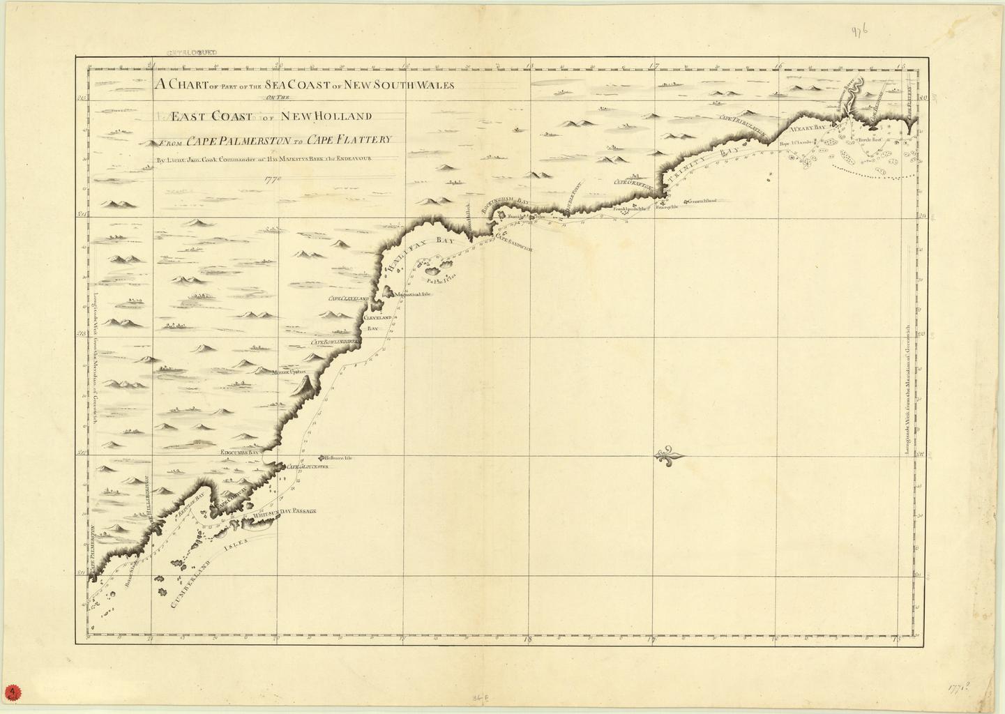
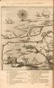
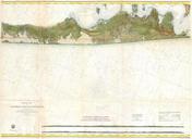
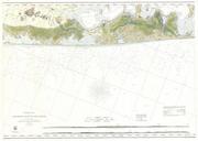
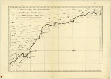
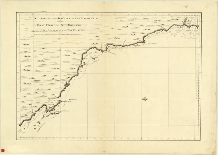
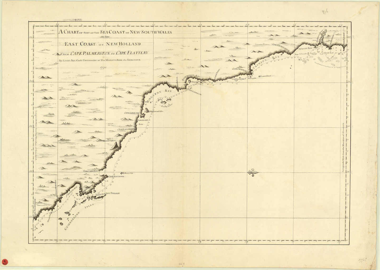
A Chart of Part of the Sea Coast of New South Wales on the East Coast of New Holland from Cape Palmerston to Cape Flattery WDL. Artwork ru fr Cook James en Cook James zh Cook James pt Cook James ar es Cook James ru fr Une carte d'une partie du littoral de la NouvelleGallesduSud sur la cte est