
Related Images


Download:
| Tiny | 82x128 | View | Download |
| Small | 165x256 | View | Download |
| Medium | 331x512 | View | Download |
| Large | 662x1024 | View | Download |
| Original | 792x1224 | View | Download |
This image was acquired from
wikimedia. It was marked as Public Domain or CC0 and is free to use. To verify, go to the source and check the information there.
Looking for more info about this image?
Try a Google Reverse Image Search for it.
Try a Google Reverse Image Search for it.
Keywords from Image Description:
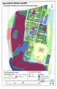
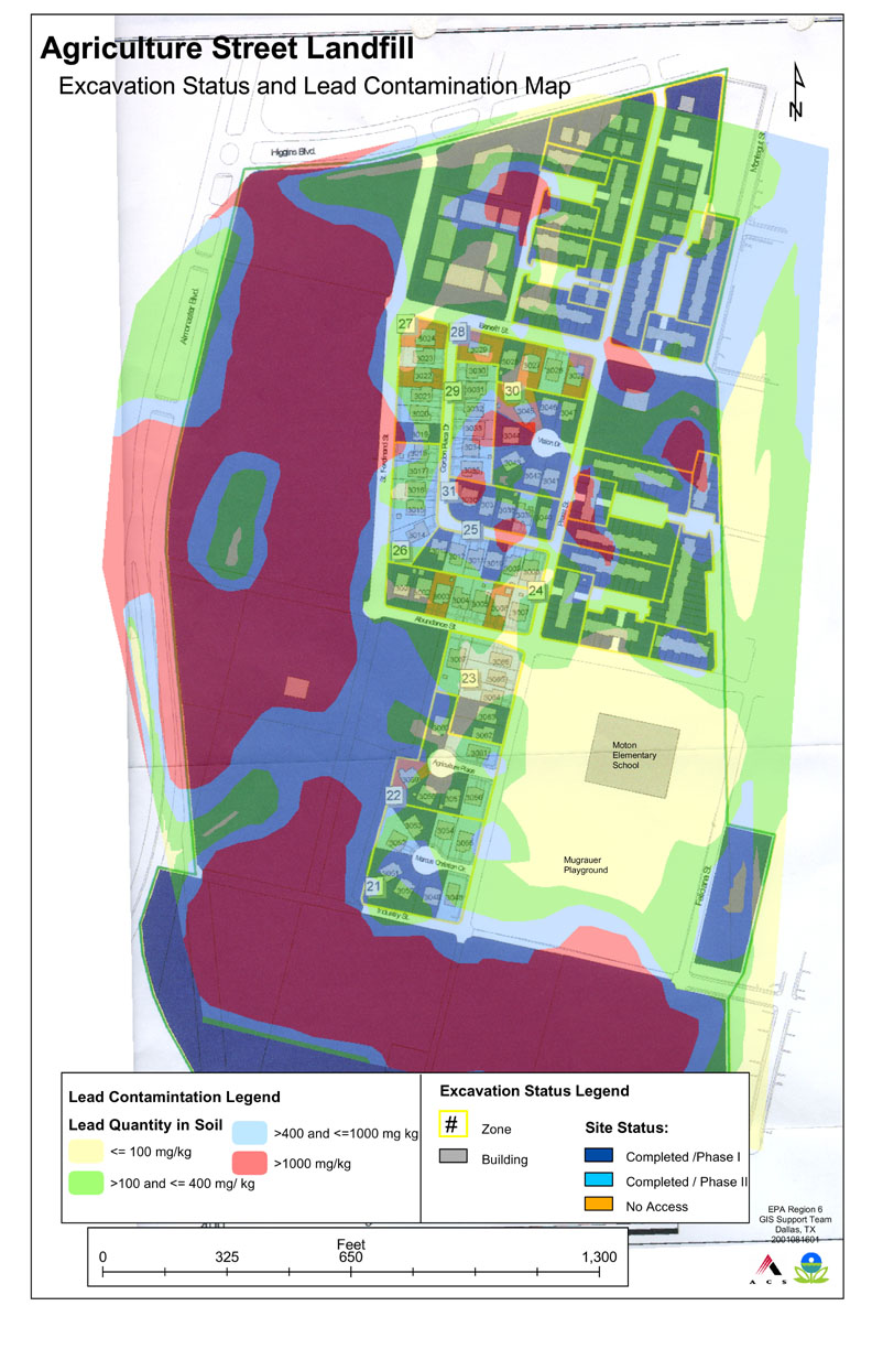
EPA lead contamination map of Agriculture Street Landfill site.jpeg en An EPA map detailing lead contamination at the Agriculture Street Landfill Superfund site in New Orleans Louisiana epa gov EPA PDUSGov Agriculture Street Landfill Maps of New Orleans