
Related Images


Download:
| Tiny | 171x128 | View | Download |
| Small | 343x256 | View | Download |
| Medium | 687x512 | View | Download |
| Large | 1374x1024 | View | Download |
| Original | 5000x3725 | View | Download |
This image was acquired from
wikimedia. It was marked as Public Domain or CC0 and is free to use. To verify, go to the source and check the information there.
Looking for more info about this image?
Try a Google Reverse Image Search for it.
Try a Google Reverse Image Search for it.
Keywords from Image Description:
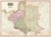
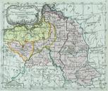
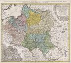
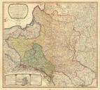
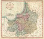
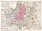
Laurie and Whittle Map of Poland and Lithuania after Second Partition Geographicus Polandlauriewhittle. This important map by Thomas Kitchin depicts the Kingdom of Poland during the brief transitional period between the second and third partitions Covers from Brandenburg to Russia and from the Gulf of Livonia to Moldova and Hungary