
Related Images


This image was acquired from
wikimedia. It was marked as Public Domain or CC0 and is free to use. To verify, go to the source and check the information there.
Looking for more info about this image?
Try a Google Reverse Image Search for it.
Try a Google Reverse Image Search for it.
Keywords from Image Description:
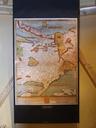
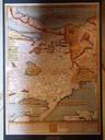
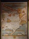
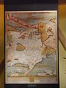
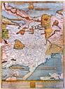
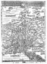
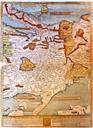
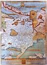
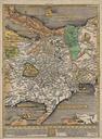
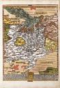
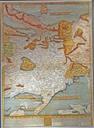
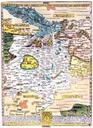
Etzlaub Romweg thumb. Romwegkarte first edition created for the Holy Year to be used by pilgrims from central Europe going to Rome Original's approximate Scale is cm Orientation is Southup Rome is near the upper edge Nuremberg at the center of the map This is the first ever printed european roadmap Dotted lines for the main