Related Images


Download:
| Tiny | 93x128 | View | Download |
| Small | 186x256 | View | Download |
| Medium | 373x512 | View | Download |
| Large | 746x1024 | View | Download |
| Original | 1278x1752 | View | Download |
This image was acquired from
wikimedia. It was marked as Public Domain or CC0 and is free to use. To verify, go to the source and check the information there.
Looking for more info about this image?
Try a Google Reverse Image Search for it.
Try a Google Reverse Image Search for it.
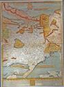
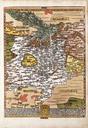
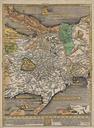
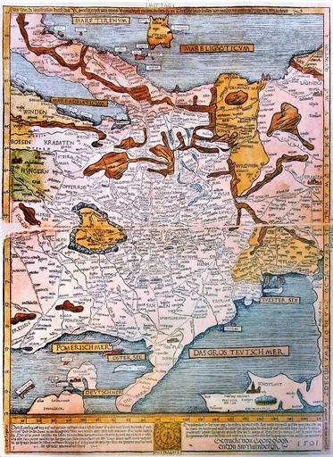
Keywords from Image Description:
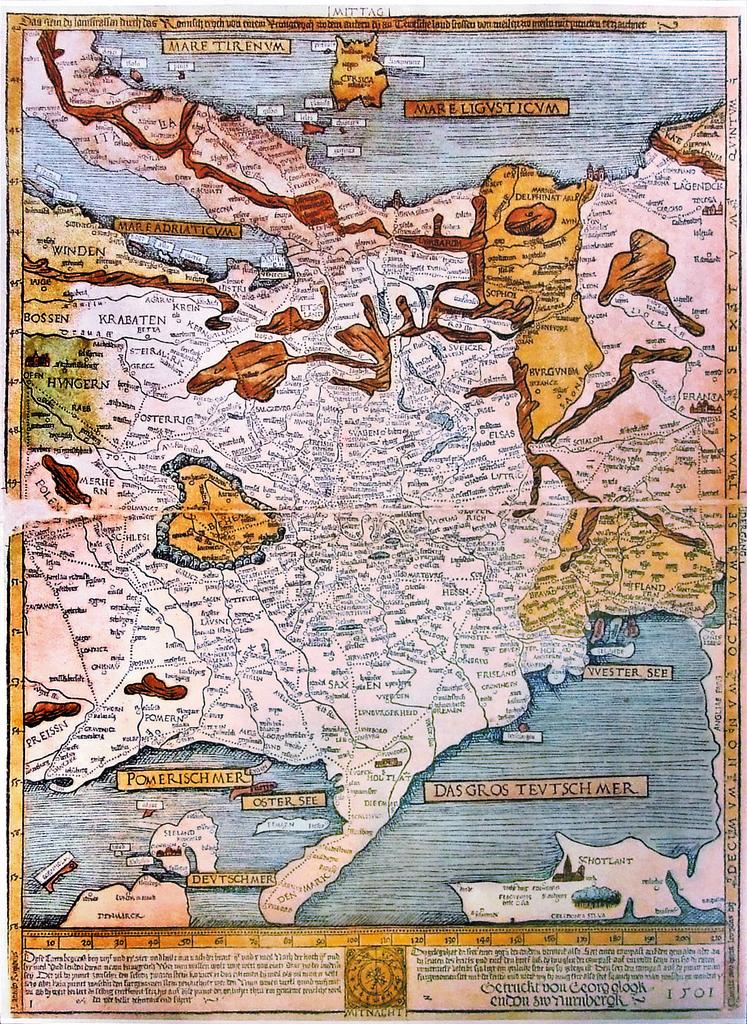
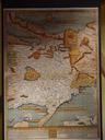
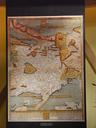
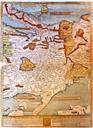
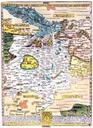
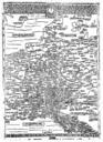
Etzlaub Romwegkarte . This is Erhard Etzlaub's second printed European roadmap from the socalled Landstrassen map It is very similar to Etzlaub's earlier Romweg map which was the first ever printed european roadmap Photo by User Neitram taken in in the Mercateum in Knigsbrunn Germany Creator Erhard Etzlaub PDArt Image Etzlaub