
Related Images


Download:
| Tiny | 109x128 | View | Download |
| Small | 219x256 | View | Download |
| Original png | 326x380 | View | Download |
| Original as jpg | 326x380 | View | Download |
This image was acquired from
wikimedia. It was marked as Public Domain or CC0 and is free to use. To verify, go to the source and check the information there.
Looking for more info about this image?
Try a Google Reverse Image Search for it.
Try a Google Reverse Image Search for it.
Keywords from Image Description:
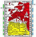
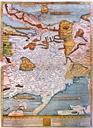
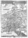
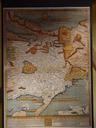
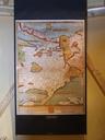
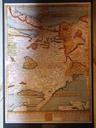
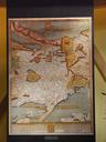
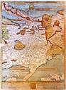
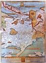
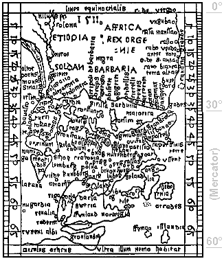
Erhard Etzlaub Sundial miniature map. en Miniature map from outside of hinged lid of Etzlaub's sundial Size is mm orientation is Southup no longitudes are given Latitudes printed in grey numbers see right margin were calculated by Krcken see Source for Mercator projection of same area and prove that Etzlaub's approach was completely