Related Images


Download:
| Tiny | 94x128 | View | Download |
| Small | 188x256 | View | Download |
| Medium | 376x512 | View | Download |
| Large | 753x1024 | View | Download |
| Original | 4853x6598 | View | Download |
This image was acquired from
wikimedia. It was marked as Public Domain or CC0 and is free to use. To verify, go to the source and check the information there.
Looking for more info about this image?
Try a Google Reverse Image Search for it.
Try a Google Reverse Image Search for it.
Keywords from Image Description:
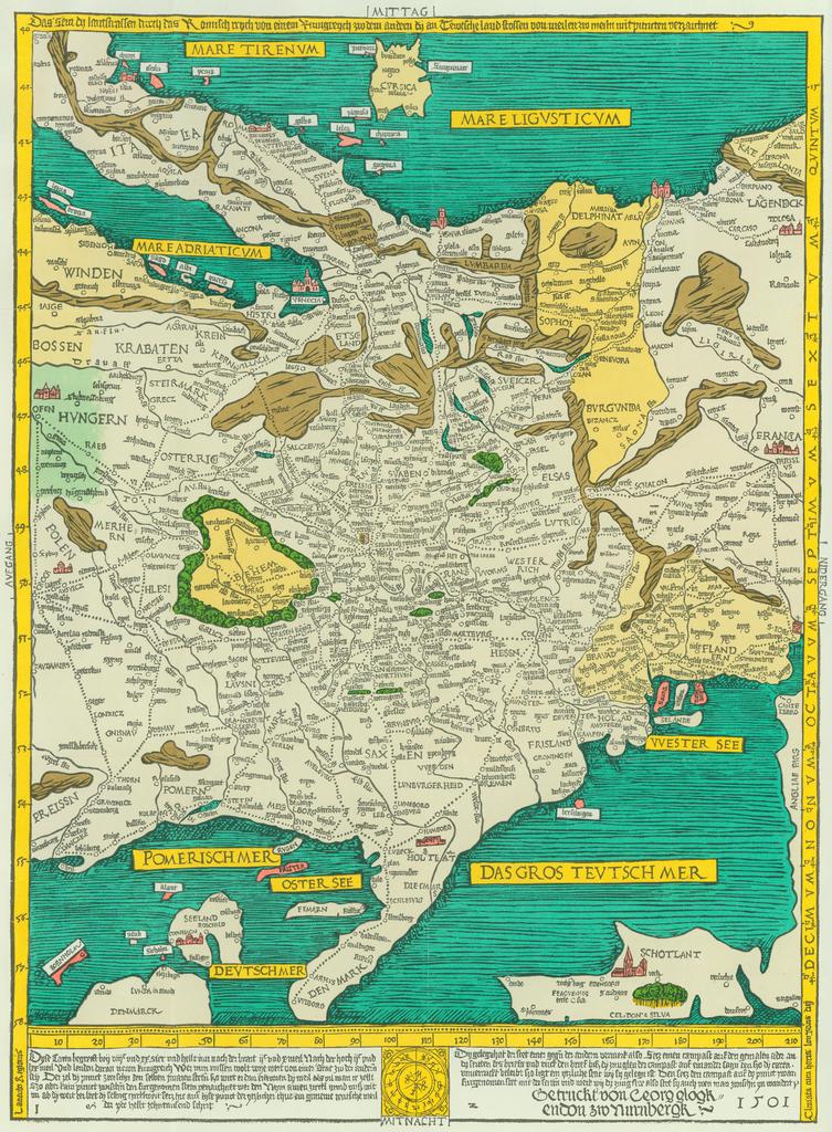
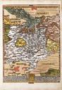
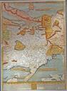
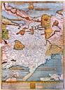
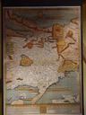
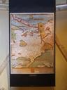
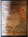
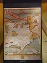
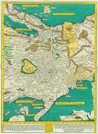
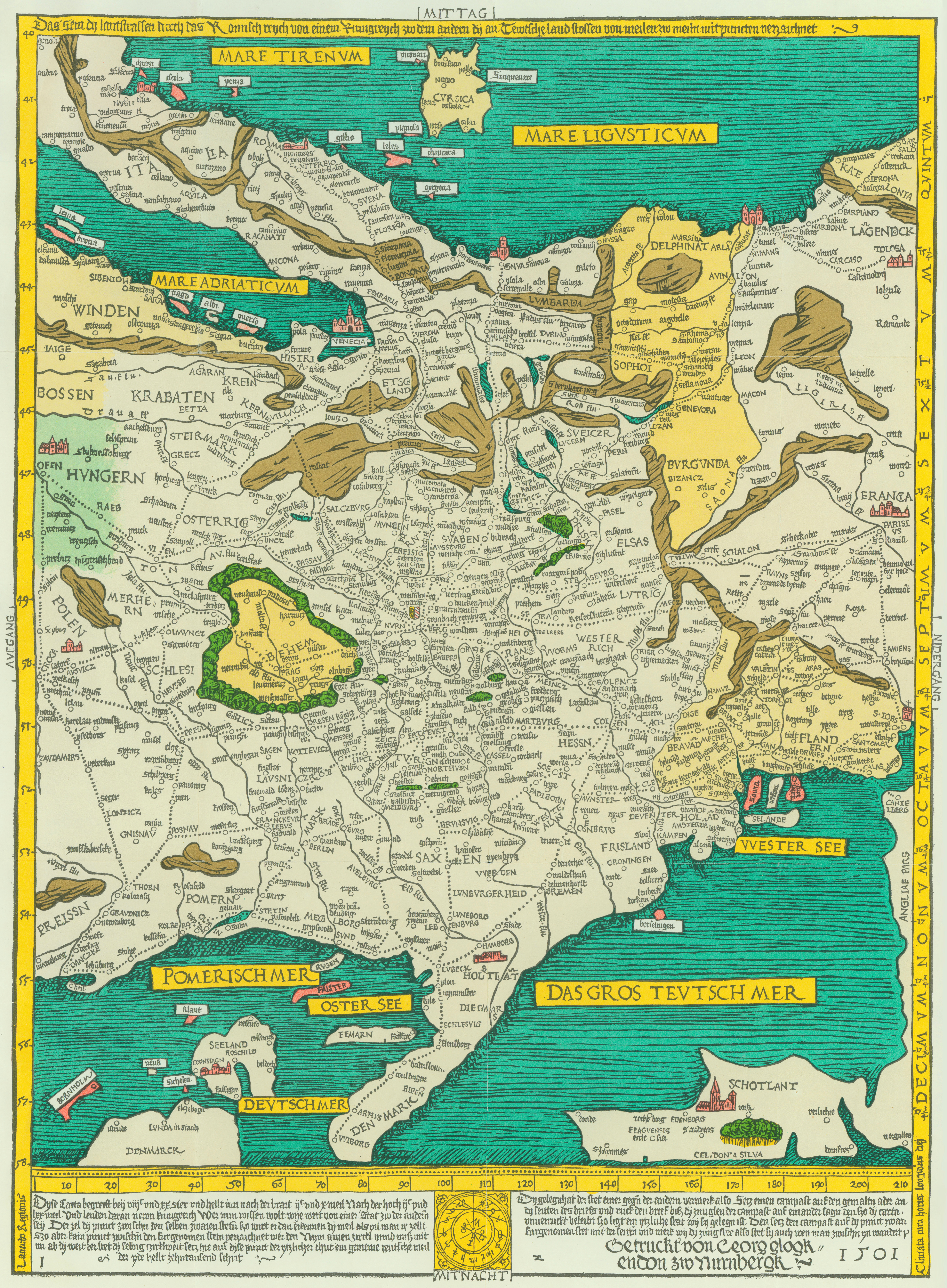
Rompilgerkarte von Erhard Etzlaub . de Das seyn dy lantstrassen durch das Romisch reych von einem kunigreych zw dem andern dy an Tewtsche land stossen von meilen zw meiln mit puncten verzaichnet unibw de unibw de Creator Erhard Etzlaub other versions RompilgerKarte Erhard Etzlaub PDold Old maps of the Holy Roman Empire Romwegkarte