Related Images


This image was acquired from
wikimedia. It was marked as Public Domain or CC0 and is free to use. To verify, go to the source and check the information there.
Looking for more info about this image?
Try a Google Reverse Image Search for it.
Try a Google Reverse Image Search for it.
Keywords from Image Description:
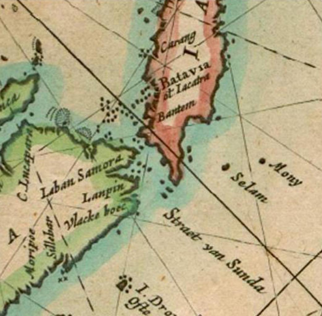
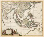
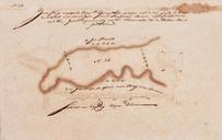
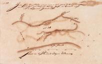
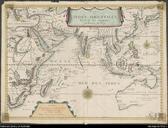
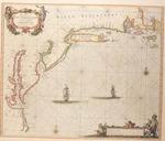
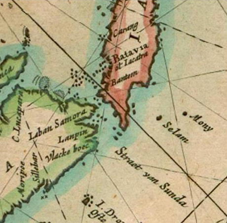
FirstMapChristmasIsland. en part of Dutchman Pieter Goos' map of the East Indies Paskaerte zynde t'oosterdeel van Oost Indien met alle de eylanden deer ontrendt geleegen van Comorin tot aen Iapan This small section of the map shows the location of Mony now called Christmas Island It is the first time Christmas Island appears on map