Related Images


Download:
| Tiny | 150x128 | View | Download |
| Small | 301x256 | View | Download |
| Medium | 602x512 | View | Download |
| Original png | 1205x1024 | View | Download |
| Original as jpg | 1205x1024 | View | Download |
This image was acquired from
wikimedia. It was marked as Public Domain or CC0 and is free to use. To verify, go to the source and check the information there.
Looking for more info about this image?
Try a Google Reverse Image Search for it.
Try a Google Reverse Image Search for it.
Keywords from Image Description:
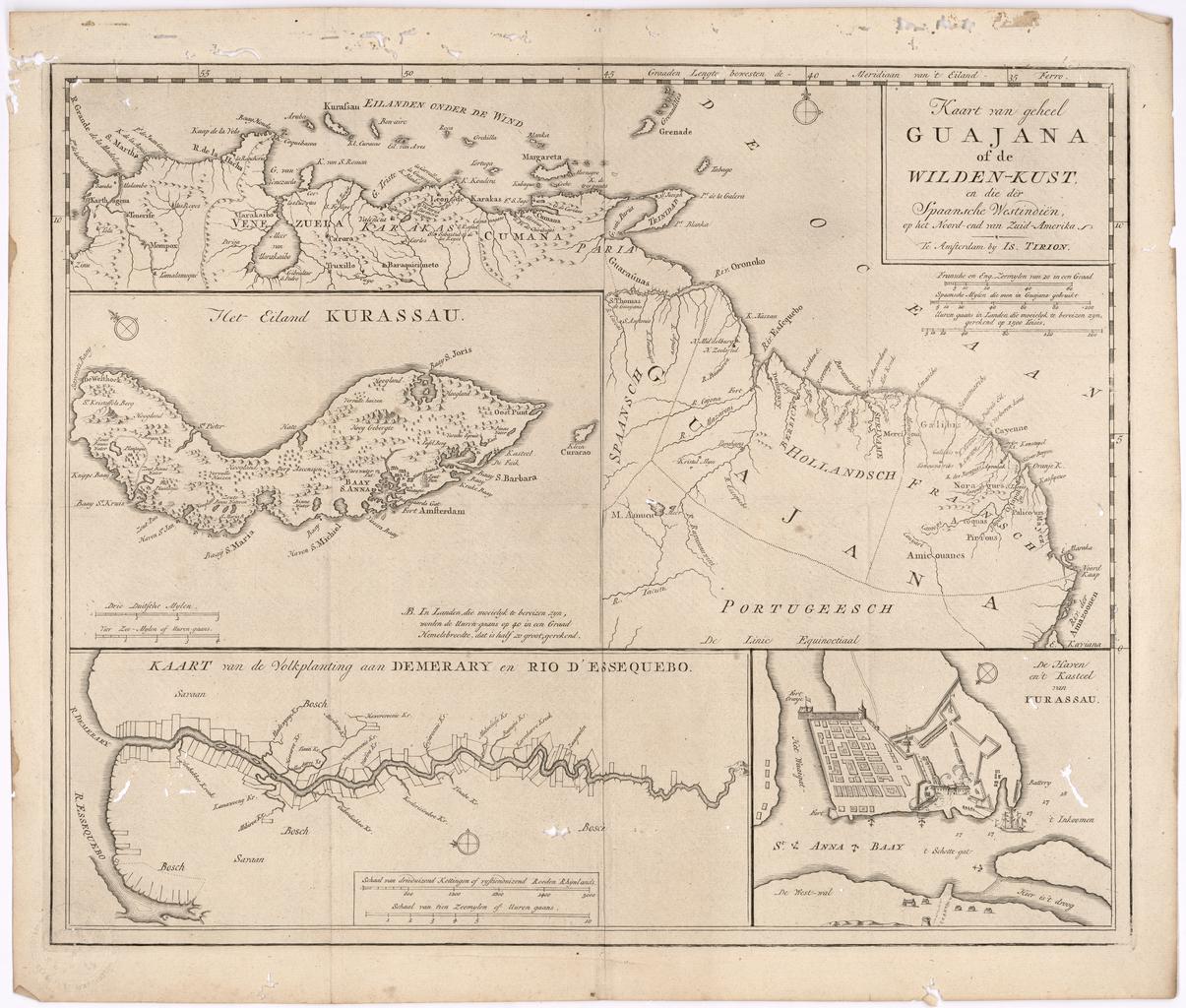
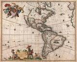
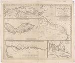
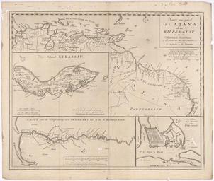
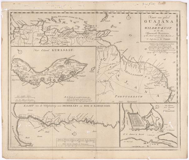
Map of the Whole of Guiana or the Savage Coast and the Spanish West Indies at the Northern End of South America WDL. Artwork ru fr Tirion Isaak env en Tirion Isaak circa circa zh pt Tirion Isaak aproximadamente ar es Tirion Isaak circa circa ru fr Carte de l'ensemble de la Guyane ou la Cte sauvage