
Related Images


Download:
| Tiny | 233x128 | View | Download |
| Small | 467x256 | View | Download |
| Medium | 935x512 | View | Download |
| Large | 1871x1024 | View | Download |
| Original png | 6342x3470 | View | Download |
| Original as jpg | 6342x3470 | View | Download |
This image was acquired from
wikimedia. It was marked as Public Domain or CC0 and is free to use. To verify, go to the source and check the information there.
Looking for more info about this image?
Try a Google Reverse Image Search for it.
Try a Google Reverse Image Search for it.
Keywords from Image Description:
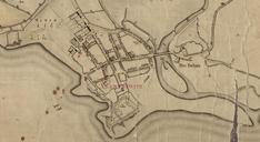
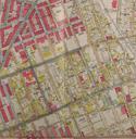
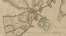
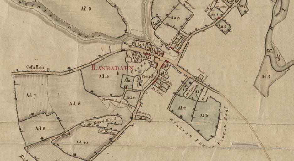
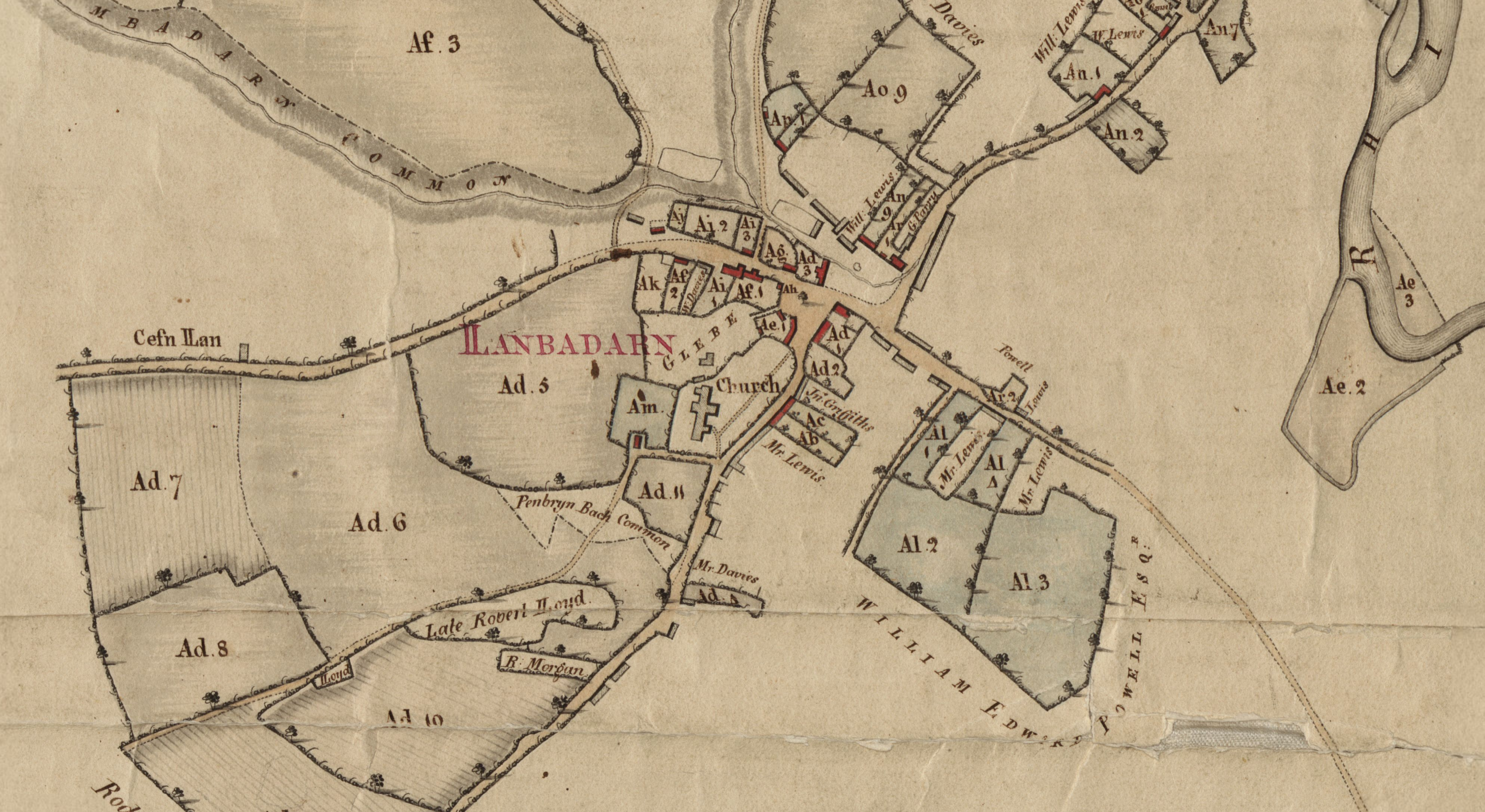
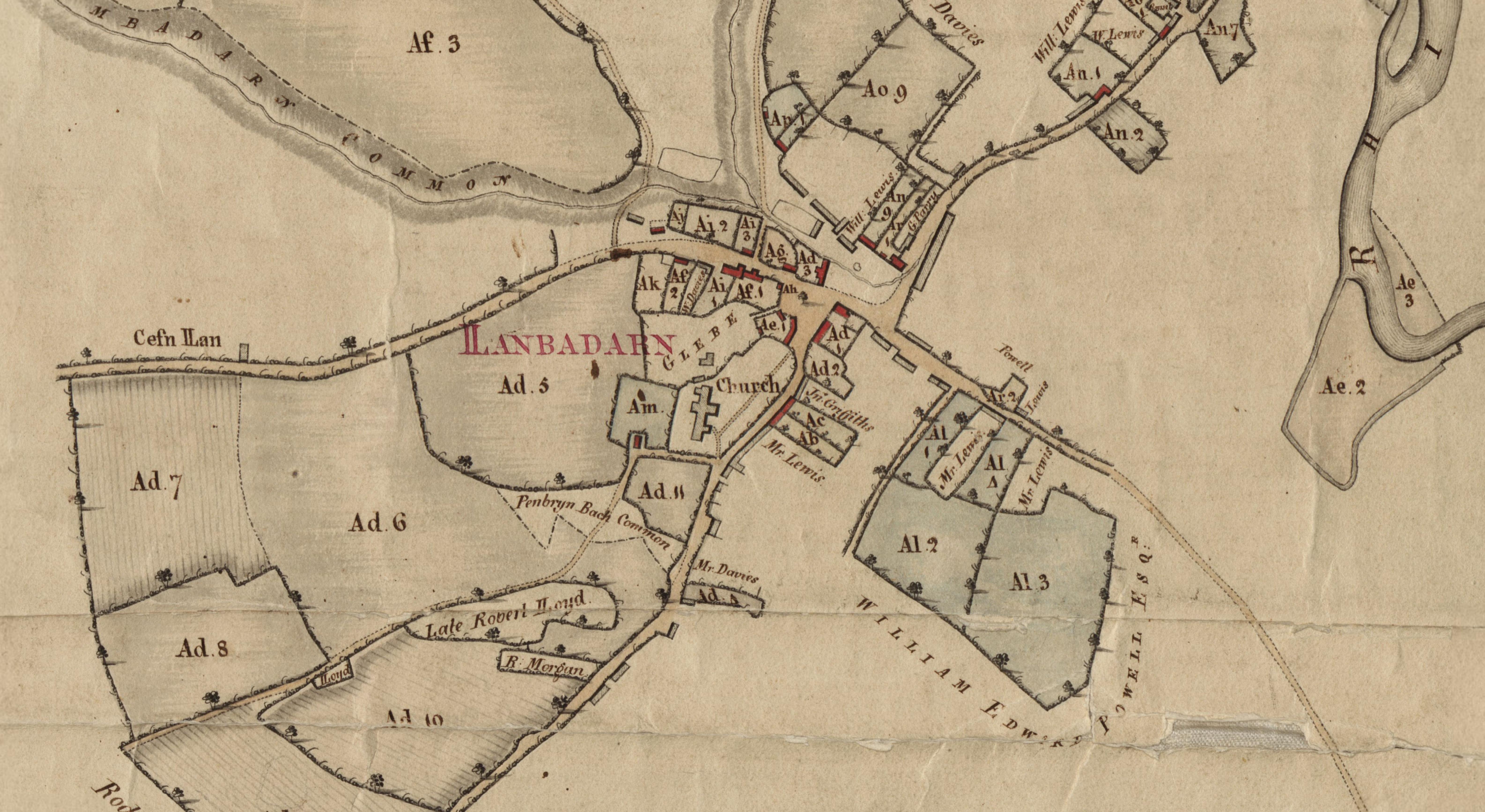
Gogerddan Map map of the Borough of Llanbadarn. Institution National Library of Wales credit line PDold thumb left Entire map cczero Estate Maps in the National Library of Wales Images uploaded as part of NLW WMUK collaboration Estate maps Historical maps of Wales Llanbadarn Fawr