Related Images


Download:
| Tiny | 249x128 | View | Download |
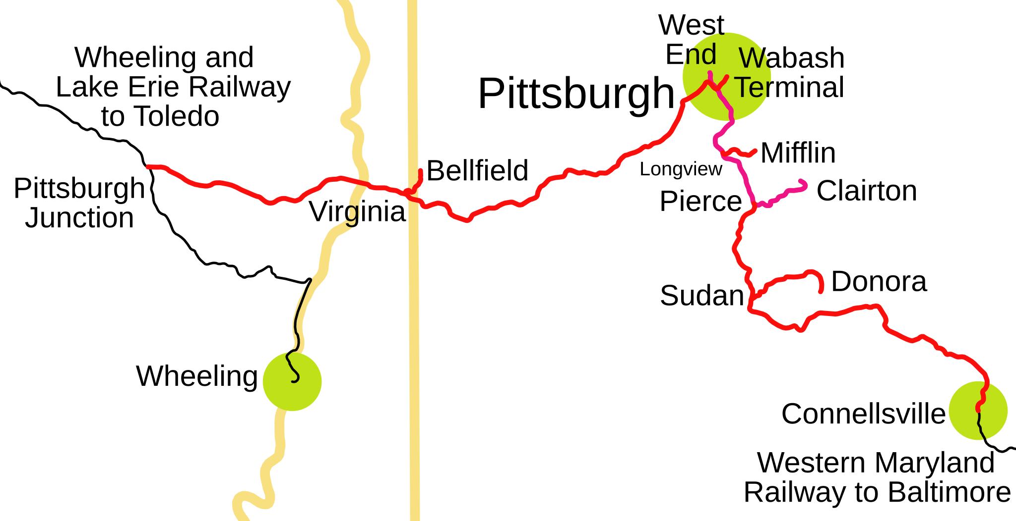
| Original svg | 414x212 | View | Download |
| Original as jpg | 414x212 | View | Download |
This image was acquired from
wikimedia. It was marked as Public Domain or CC0 and is free to use. To verify, go to the source and check the information there.
Looking for more info about this image?
Try a Google Reverse Image Search for it.
Try a Google Reverse Image Search for it.
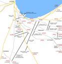
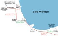
Keywords from Image Description:
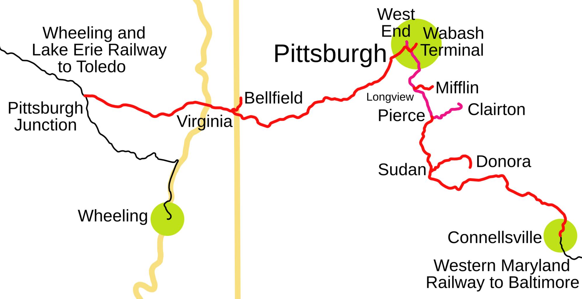
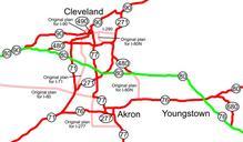
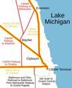
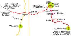
PWV map.svg spuimap Pittsburgh and West Virginia Railway traced on USGS topos Norfolk and Western Railway System maps of defunct railroads Wabash Pittsburgh Terminal