
Related Images

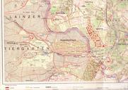
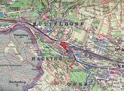


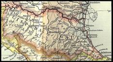
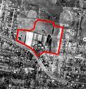

Download:
| Tiny | 197x128 | View | Download |
| Small | 394x256 | View | Download |
| Medium | 789x512 | View | Download |
| Original | 934x606 | View | Download |
This image was acquired from
wikimedia. It was marked as Public Domain or CC0 and is free to use. To verify, go to the source and check the information there.
Looking for more info about this image?
Try a Google Reverse Image Search for it.
Try a Google Reverse Image Search for it.
Keywords from Image Description:
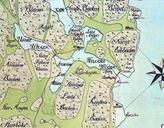
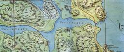
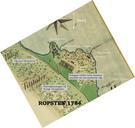
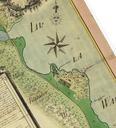
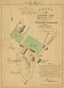
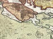
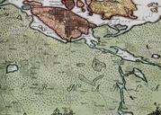
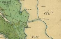
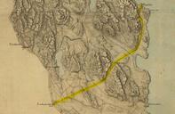
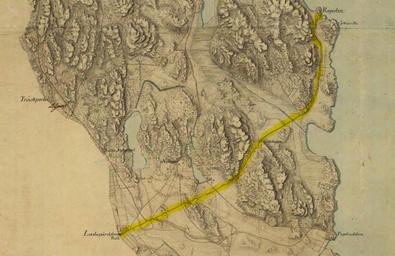
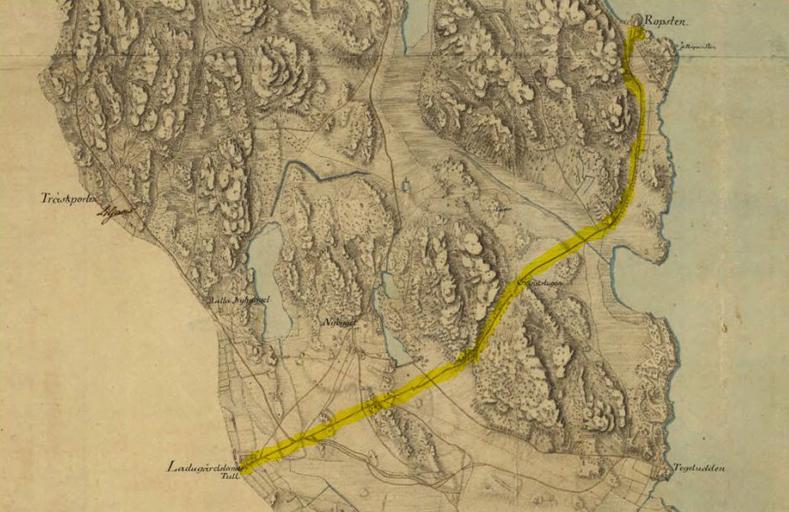
Kartaladugardsg. Part of historical map showing part of Norra Djurgrden Stockholm in the th century The map was created by Von Fieandt The yellow markning showing the path of Vrtavgen from Ladugrdslandstullen to Ropsten djurgardskartor lantmateriet se User JVM PDold PDold in Sweden Maps of Grdet thcentury maps of Stockholm Stockholm