
Related Images


Download:
| Tiny | 114x128 | View | Download |
| Small | 229x256 | View | Download |
| Medium | 458x512 | View | Download |
| Large | 916x1024 | View | Download |
| Original | 7160x8000 | View | Download |
This image was acquired from
wikimedia. It was marked as Public Domain or CC0 and is free to use. To verify, go to the source and check the information there.
Looking for more info about this image?
Try a Google Reverse Image Search for it.
Try a Google Reverse Image Search for it.
Keywords from Image Description:
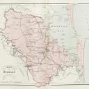
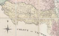
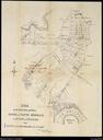
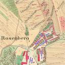
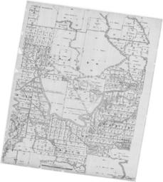
Loganholme Queensland cadastral map georef. Loganholme Queensland Australia georeferenced to datum WGS using QGIS The modern suburb of Loganholme is situated in the centre of this map and was originally the name assigned to the portion shown as George Raff John Sargent Turner of acres east of the Queensland Cooperative Cotton Growing