Related Images

Download:
| Tiny | 183x128 | View | Download |
| Small | 366x256 | View | Download |
| Medium | 732x512 | View | Download |
| Large | 1465x1024 | View | Download |
| Original | 8070x5638 | View | Download |
This image was acquired from
wikimedia. It was marked as Public Domain or CC0 and is free to use. To verify, go to the source and check the information there.
Looking for more info about this image?
Try a Google Reverse Image Search for it.
Try a Google Reverse Image Search for it.
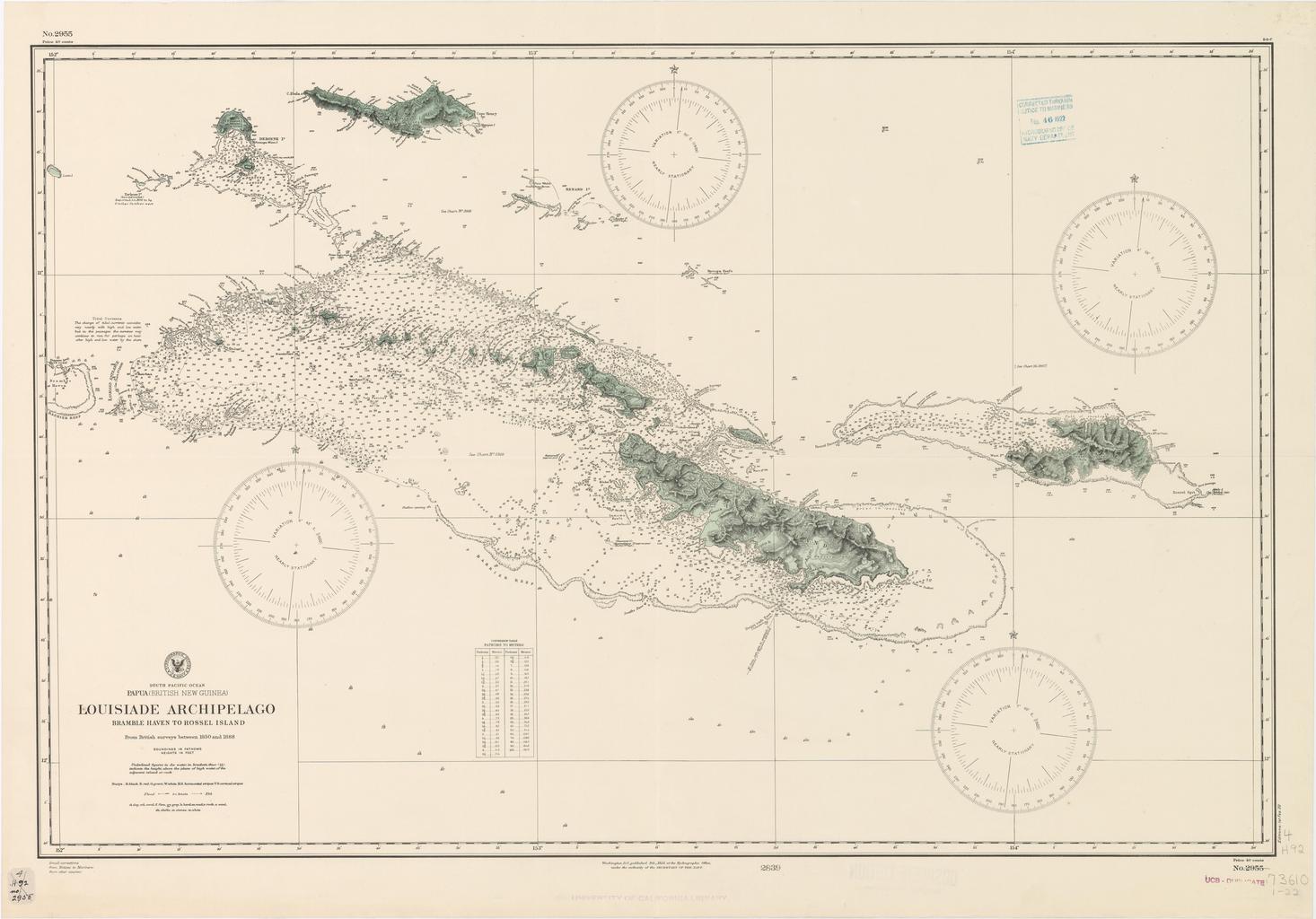
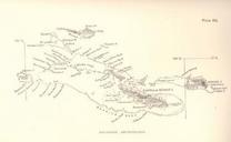
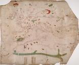
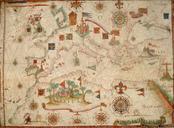
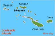
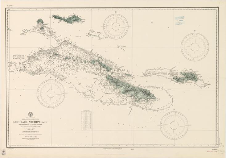
Keywords from Image Description:
Louisiade Archipelago nautical chart. InteractiveViewer en nautical chart of Louisiade Archipelago Papua New Guinea Solomon Sea Western Pacific Ocean ucsd edu wmflabs org php path ucsd edu zoom Hydrographic Office Washington other versions PDUSGov Louisiade Archipelago maps Nautical charts