Related Images


Download:
| Tiny | 168x128 | View | Download |
| Small | 336x256 | View | Download |
| Medium | 672x512 | View | Download |
| Original | 912x694 | View | Download |
This image was acquired from
wikimedia. It was marked as Public Domain or CC0 and is free to use. To verify, go to the source and check the information there.
Looking for more info about this image?
Try a Google Reverse Image Search for it.
Try a Google Reverse Image Search for it.
Keywords from Image Description:
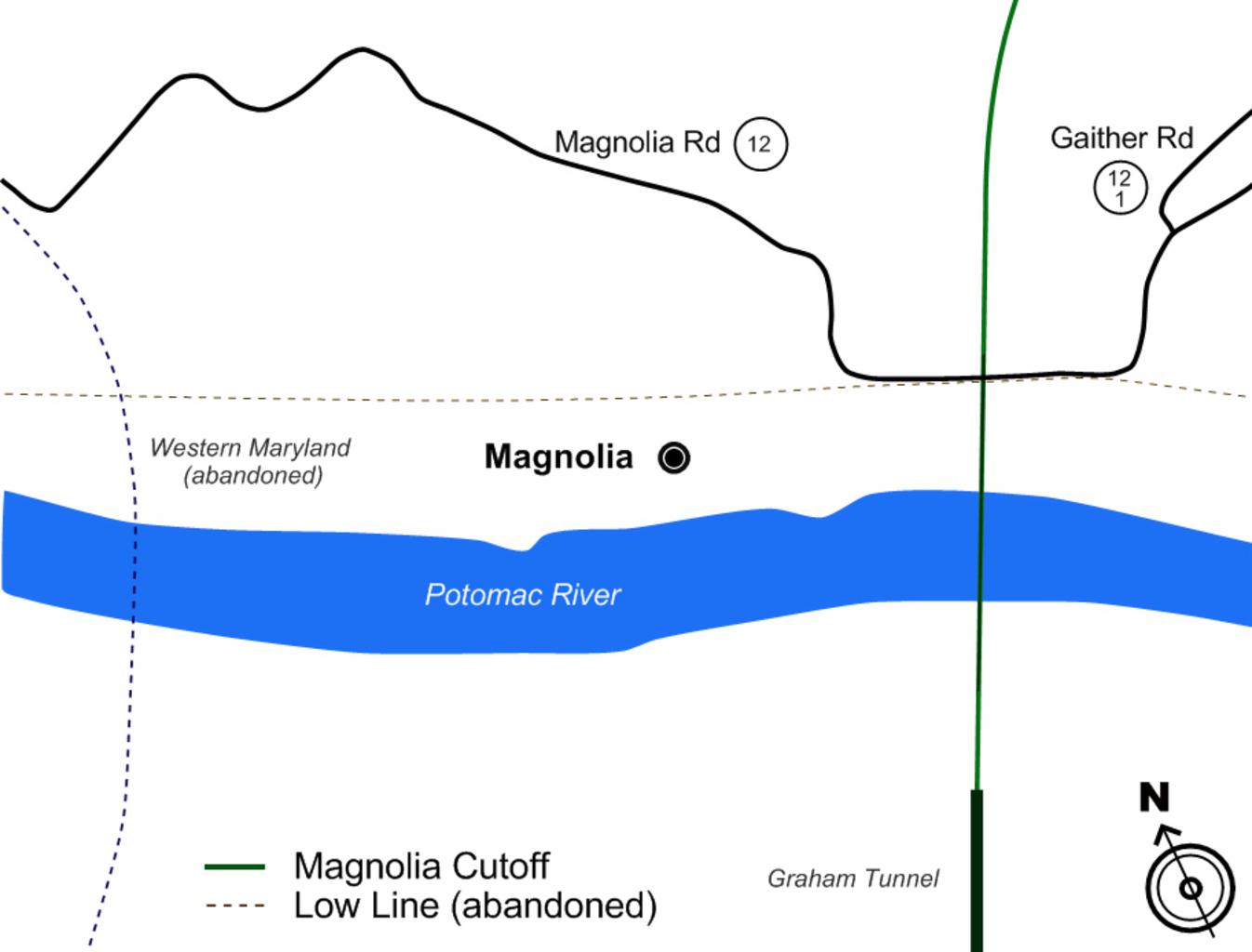
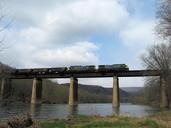
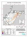
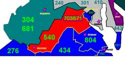
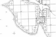
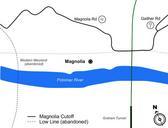
MagnoliaMap. Map of Magnolia West Virginia area showing location of the Magnolia Cutoff rail line part of the Cumberland Subdivision of CSX The map was created for use in documentary Magnolia Ties en TitaniumMotionPictures en TitaniumMotionPictures Original upload log en MagnoliaMap TitaniumMotionPictures bytes no of Magnolia