Related Images


Download:
| Tiny | 155x128 | View | Download |
| Small | 310x256 | View | Download |
| Medium | 621x512 | View | Download |
| Original gif | 680x560 | View | Download |
| Original as jpg | 680x560 | View | Download |
This image was acquired from
wikimedia. It was marked as Public Domain or CC0 and is free to use. To verify, go to the source and check the information there.
Looking for more info about this image?
Try a Google Reverse Image Search for it.
Try a Google Reverse Image Search for it.
Keywords from Image Description:
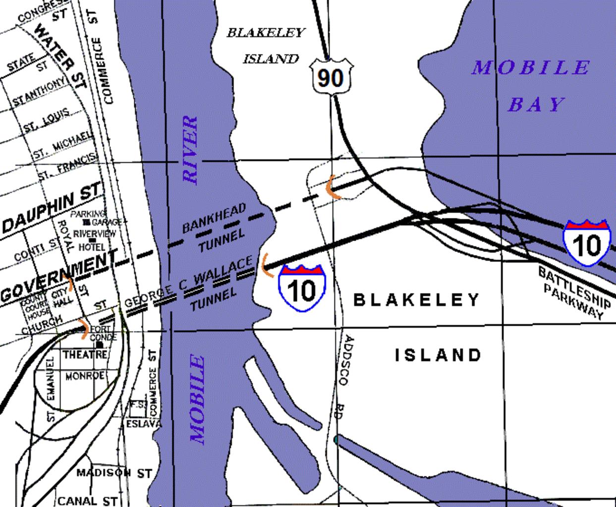
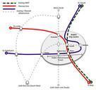
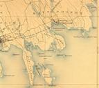
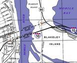
Map Mobile River tunnels area. Rough diagram of central Mobile Alabama along the Mobile River showing locations of the Bankhead Tunnel and the George Wallace Tunnel connecting Blakeley Island to downtown Mobile The whole area is within the Mobile city limits which begin further east just beyond Battleship Memorial Park along the